
File:Anden8.JPG

Size of this preview: 463 × 599 pixels. Other resolutions: 185 × 240 pixels | 371 × 480 pixels | 593 × 768 pixels | 791 × 1,024 pixels | 1,292 × 1,672 pixels.
Original file (1,292 × 1,672 pixels, file size: 514 KB, MIME type: image/jpeg)
| This is a file from the Wikimedia Commons. Information from its description page there is shown below. Commons is a freely licensed media file repository. You can help. |
| Description |
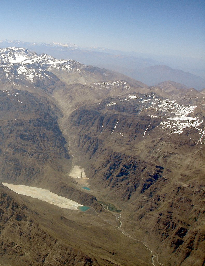
English: Andes 2004, Confluence of the Blanco and Los Leones rivers. Cerro El Plomo is visible in the upper left portion of the image, while Los Leones Dam can be seen in the lower portion of the image. |
||||||||
| Date | |||||||||
| Source | Own work | ||||||||
| Author | Rüdiger Meier | ||||||||
| Permission (Reusing this file) |
(The author made the picture especially for this purpose and fully agrees to this licenses) License:
This file is licensed under the Creative Commons Attribution-Share Alike 1.0 Generic license.
|

| Object location | | View this and other nearby images on: OpenStreetMap |
|---|
File history
Click on a date/time to view the file as it appeared at that time.
| Date/Time | Thumbnail | Dimensions | User | Comment | |
|---|---|---|---|---|---|
| current | 00:24, 29 December 2019 | | 1,292 × 1,672 (514 KB) | WeHaKa | Levels ajustment |
| 09:05, 16 March 2005 |  | 1,292 × 1,672 (1.13 MB) | Denis Barthel | Andes 2004 Author: Rüdiger Meier (The author made the picture especially for this purpose and fully agrees to this licenses) License: {{GFDL}}{{cc-by-sa}} |
File usage
The following pages on the English Wikipedia use this file (pages on other projects are not listed):
Global file usage
The following other wikis use this file:
- Usage on es.wikipedia.org
- Usage on www.wikidata.org