
File:Adair County, Iowa map from 1903.png
No higher resolution available.
Adair_County,_Iowa_map_from_1903.png (516 × 521 pixels, file size: 741 KB, MIME type: image/png)
| This is a file from the Wikimedia Commons. Information from its description page there is shown below. Commons is a freely licensed media file repository. You can help. |
Summary
| Description |
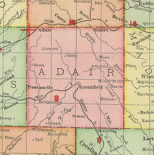
English: Map of Adair County, Iowa from 1903 |
| Date | |
| Source | 1903 Rand McNally map of Iowa |
| Author | Rand McNally |
Licensing
This work is in the public domain in the United States because it was published (or registered with the U.S. Copyright Office) before January 1, 1929.
Public domain works must be out of copyright in both the United States and in the source country of the work in order to be hosted on the Commons. If the work is not a U.S. work, the file must have an additional copyright tag indicating the copyright status in the source country.
Note: This tag should not be used for sound recordings. |
File history
Click on a date/time to view the file as it appeared at that time.
| Date/Time | Thumbnail | Dimensions | User | Comment | |
|---|---|---|---|---|---|
| current | 16:26, 22 May 2021 | | 516 × 521 (741 KB) | Firsfron | Uploaded a work by Rand McNally from 1897 Rand McNally map of Iowa with UploadWizard |
File usage
The following pages on the English Wikipedia use this file (pages on other projects are not listed):