
File:Aberdeen UK location map.svg

Size of this PNG preview of this SVG file: 719 × 600 pixels. Other resolutions: 288 × 240 pixels | 575 × 480 pixels | 921 × 768 pixels | 1,227 × 1,024 pixels | 2,455 × 2,048 pixels | 1,425 × 1,189 pixels.
Original file (SVG file, nominally 1,425 × 1,189 pixels, file size: 630 KB)
| This is a file from the Wikimedia Commons. Information from its description page there is shown below. Commons is a freely licensed media file repository. You can help. |
| Description |
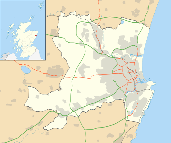
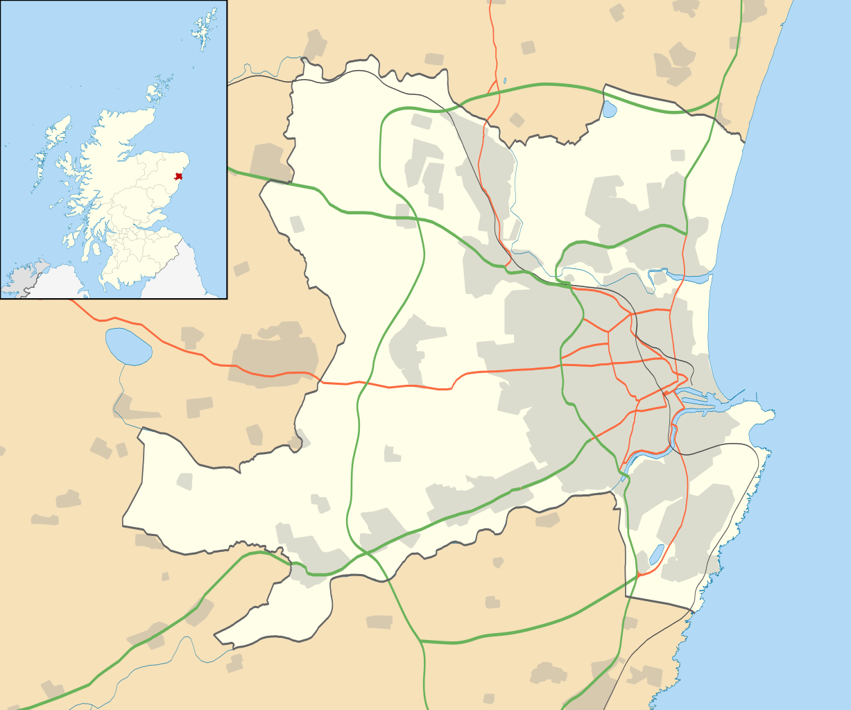
Blank map of Aberdeen, UK with the following information shown:
Equirectangular map projection on WGS 84 datum, with N/S stretched 180% Geographic limits:
|
| Date | |
| Source |
|
| Author | Nilfanion, created using Ordnance Survey data |
| Permission (Reusing this file) |
This file is licensed under the Creative Commons Attribution-Share Alike 3.0 Unported license. Attribution: Contains Ordnance Survey data © Crown copyright and database right
|
| Other versions | File:Aberdeen UK blank map.svg - Blank map |
File history
Click on a date/time to view the file as it appeared at that time.
| Date/Time | Thumbnail | Dimensions | User | Comment | |
|---|---|---|---|---|---|
| current | 17:19, 1 July 2020 | | 1,425 × 1,189 (630 KB) | NordNordWest | + Aberdeen Western Peripheral Route |
| 19:55, 26 September 2010 |  | 1,425 × 1,189 (821 KB) | Nilfanion | {{Information |Description=Blank map of Aberdeen, UK with the following information shown: *Administrative borders *Coastline, lakes and rivers *Roads and railways *Urban areas Equirectangular map projection on WGS 84 datum, with N/S stret |
File usage
More than 100 pages use this file. The following list shows the first 100 pages that use this file only. A full list is available.
- 2018–19 North Superleague
- Aberdeen
- Aberdeen Airport
- Aberdeen Art Gallery
- Aberdeen Community Health and Care Village
- Aberdeen Maritime Museum
- Aberdeen Maternity Hospital
- Aberdeen Mosque and Islamic Centre
- Aberdeen Royal Infirmary
- Aberdeen Science Centre
- Albyn Hospital
- Altens
- Balmoral Stadium
- Beach Boulevard, Aberdeen
- Berryden
- Bieldside
- Bishop Dunbar's Hospital
- Blackburn, Aberdeenshire
- Blackdog
- Braeside, Aberdeen
- Bridge of Don
- Brimmond Hill
- Broomhill, Aberdeen
- Bucks Burn
- Bucksburn
- Castlehill Barracks
- Cornhill, Aberdeen
- Cove Bay
- Craigiebuckler
- Cruickshank Botanic Garden
- Cults, Aberdeen
- Cummings Park, Aberdeen
- Danestone
- Doonies Farm
- Drumoak
- Dyce
- Dyce Work Camp
- Ferryhill, Aberdeen
- Footdee
- Foresterhill
- Friendville (manor house)
- Garthdee
- Geography of Aberdeen
- George Street, Aberdeen
- Gordon Barracks
- Gordon Highlanders Museum
- Guild Street, Aberdeen
- Guild Street drill hall, Aberdeen
- Hatton of Fintray
- Hazlehead
- Hilton, Aberdeen
- James Dun's House
- Johnston Gardens
- Kaimhill
- Kincorth
- King Street, Aberdeen
- Kingswells
- Kittybrewster
- Kittybrewster railway station
- Mannofield
- Mastrick
- Midstocket
- Milltimber
- Mitchell's Hospital Old Aberdeen
- Nigg, Aberdeen
- Nigg Bay, Aberdeen
- Northfield, Aberdeen
- Old Aberdeen
- Peterculter
- Pittodrie Stadium
- Portlethen
- Potterton
- Proposed Aberdeen stadium
- Provost John Ross
- Rosemount, Aberdeen
- Roxburghe House
- Royal Aberdeen Children's Hospital
- Royal Cornhill Hospital
- Rubislaw
- Rubislaw Playing Fields
- Rubislaw and Queens Terrace Gardens
- Shiprow
- Stewart Park, Aberdeen
- Stoneywood, Aberdeen
- Summerhill, Aberdeen
- The Tolbooth, Aberdeen
- Tillydrone
- Tor-na-Dee Hospital
- Torry
- Tullos
- Union Terrace, Aberdeen
- Victoria Park, Aberdeen
- West End, Aberdeen
- Westburn Park
- Westhill, Aberdeenshire
- Woodend Hospital
- Woodside, Aberdeen
- Woolmanhill Hospital
- User:Tartan Scottish Airways
- Template:Aberdeen-geo-stub
View more links to this file.
Global file usage
The following other wikis use this file:
- Usage on ar.wikipedia.org
- Usage on azb.wikipedia.org
- Usage on ba.wikipedia.org
- Usage on bg.wikipedia.org
- Usage on ceb.wikipedia.org
- Usage on de.wikipedia.org
- Usage on es.wikipedia.org
- Usage on fa.wikipedia.org
- Usage on fr.wikipedia.org
- Usage on gv.wikipedia.org
- Usage on id.wikipedia.org
- Usage on ja.wikipedia.org
- Usage on kn.wikipedia.org
- Usage on nl.wikipedia.org
- Usage on os.wikipedia.org
- Usage on pl.wikipedia.org
View more global usage of this file.