
File:Abbots Island in Pleasant Township.jpg

Size of this preview: 800 × 600 pixels. Other resolutions: 320 × 240 pixels | 640 × 480 pixels | 1,024 × 768 pixels | 1,280 × 960 pixels | 2,560 × 1,920 pixels | 2,816 × 2,112 pixels.
Original file (2,816 × 2,112 pixels, file size: 2.13 MB, MIME type: image/jpeg)
| This is a file from the Wikimedia Commons. Information from its description page there is shown below. Commons is a freely licensed media file repository. You can help. |
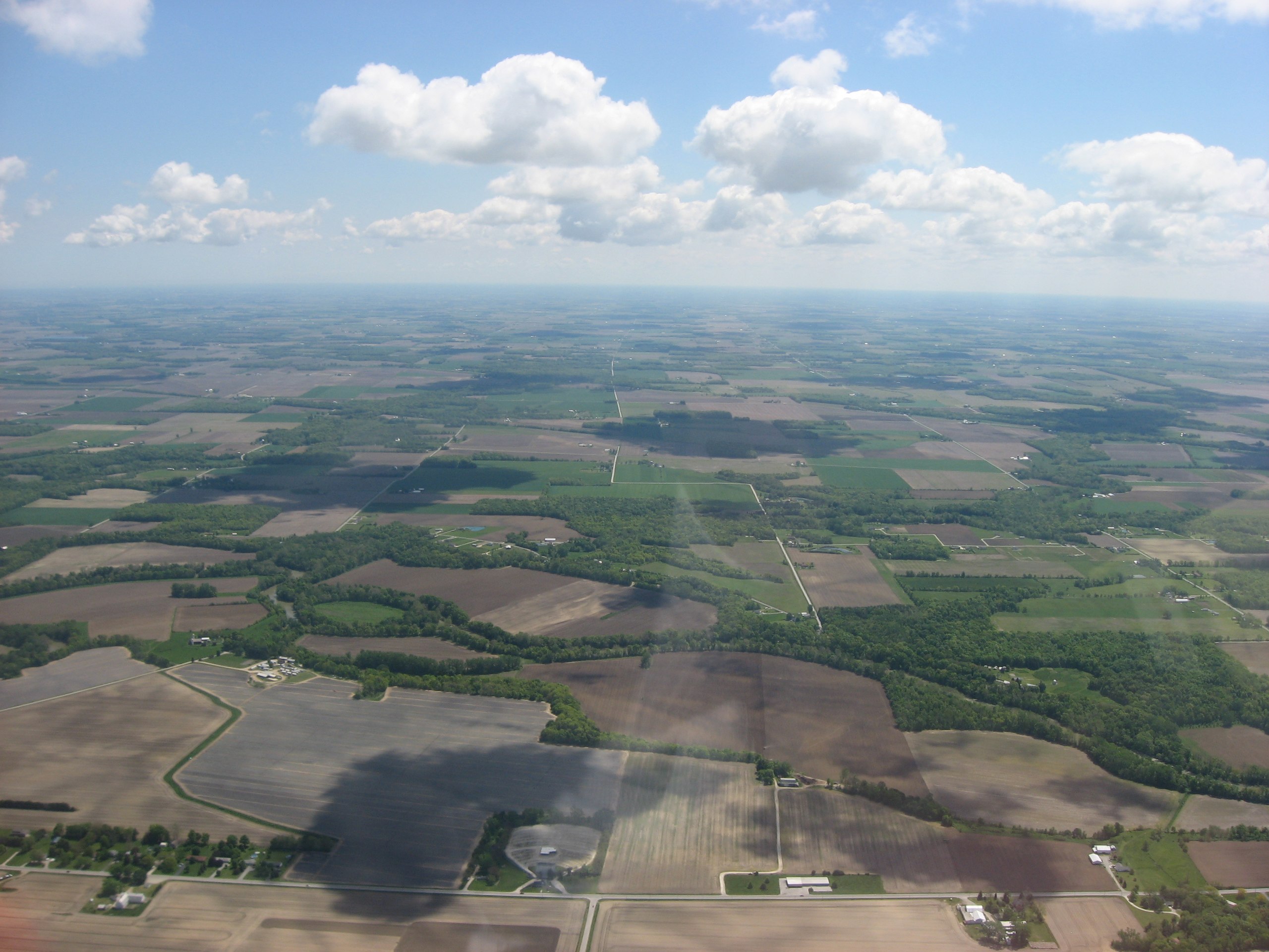
| Description | Aerial view of southwestern Pleasant Township, Seneca County, Ohio, United States, north of Tiffin. The Sandusky River is visible as the long, curving line of trees that extends right to left; the small grassy oval surrounded by trees (on the left side of the picture) is Abbots Island. Picture taken from a Diamond Eclipse light airplane at an altitude of 3,500 feet MSL and a bearing of approximately 90º. Horizontal road at bottom of picture is State Route 53. | ||
| Date | Taken on 24 May 2008 | ||
| Source | Own work | ||
| Author | Nyttend | ||
| Permission (Reusing this file) |
|
File history
Click on a date/time to view the file as it appeared at that time.
| Date/Time | Thumbnail | Dimensions | User | Comment | |
|---|---|---|---|---|---|
| current | 21:56, 15 August 2008 | | 2,816 × 2,112 (2.13 MB) | Nyttend | {{Information |Description=Aerial view of southwestern {{w|Pleasant Township, Seneca County, Ohio|Pleasant Township}}, {{w|Seneca County, Ohio|Seneca County}}, {{w|Ohio}}, {{w|United States}}, north of {{w|Tiffin, Ohio|Tiffin}}. The {{w|Sandusky River}} |
File usage
The following pages on the English Wikipedia use this file (pages on other projects are not listed):
Global file usage
The following other wikis use this file:
- Usage on es.wikipedia.org
- Usage on eu.wikipedia.org
- Usage on fa.wikipedia.org
- Usage on pt.wikipedia.org
- Usage on vi.wikipedia.org
- Usage on www.wikidata.org
- Usage on zh.wikipedia.org