
File:ACT-Jervis Bay-MJC.png

Size of this preview: 714 × 600 pixels. Other resolutions: 286 × 240 pixels | 572 × 480 pixels | 914 × 768 pixels | 1,200 × 1,008 pixels.
Original file (1,200 × 1,008 pixels, file size: 55 KB, MIME type: image/png)
| This is a file from the Wikimedia Commons. Information from its description page there is shown below. Commons is a freely licensed media file repository. You can help. |
Summary
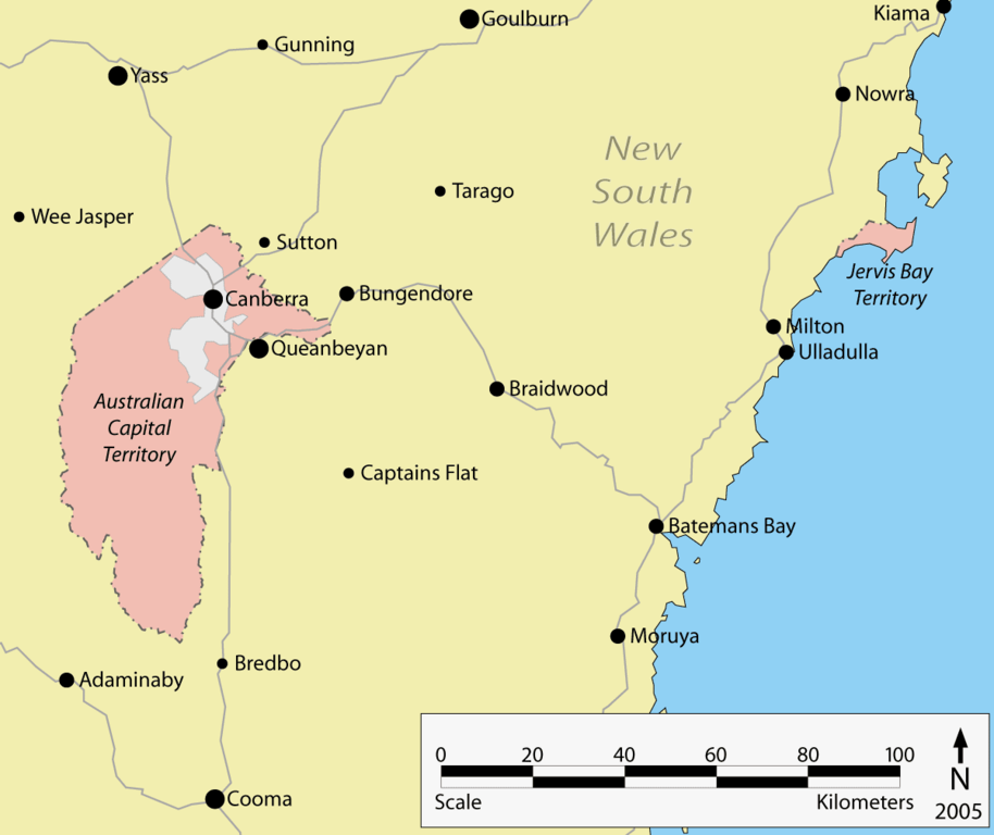
Map of the ACT and Jervis Bay.
Taken from English Wikipedia - drawn by User:Martyman in Illustrator from various sources and released under the GFDL.
Edited by User:Ian Fieggen: Fixed spelling: Queenbeyan -> Queanbeyan; Fixed scale: 0-40-60-80-100 -> 0-20-40-60-80-100
Licensing
| This file is licensed under the Creative Commons Attribution-Share Alike 3.0 Unported license. Subject to disclaimers. | ||
| ||
| This licensing tag was added to this file as part of the GFDL licensing update. |

|
Permission is granted to copy, distribute and/or modify this document under the terms of the GNU Free Documentation License, Version 1.2 or any later version published by the Free Software Foundation; with no Invariant Sections, no Front-Cover Texts, and no Back-Cover Texts. A copy of the license is included in the section entitled GNU Free Documentation License. Subject to disclaimers. |
derivative works
Derivative works of this file: ACT-Jervis Bay-MJC minimap.png
File history
Click on a date/time to view the file as it appeared at that time.
| Date/Time | Thumbnail | Dimensions | User | Comment | |
|---|---|---|---|---|---|
| current | 06:50, 27 March 2016 | | 1,200 × 1,008 (55 KB) | Ian Fieggen | Fixed spelling: Queenbeyan -> Queanbeyan Fixed scale: 0-40-60-80-100 -> 0-20-40-60-80-100 |
| 12:57, 18 April 2006 |  | 1,200 × 1,008 (54 KB) | Albinfo | Map of the ACT and Jervis Bay. Taken from English Wikipedia - drawn by User:Martyman in Illustrator from various sources and released under the GFDL. [[http://en.wikipedia.org/wiki/Image:ACT-Jer |
File usage
The following pages on the English Wikipedia use this file (pages on other projects are not listed):
Global file usage
The following other wikis use this file:
- Usage on af.wikipedia.org
- Usage on be.wikipedia.org
- Usage on bg.wikipedia.org
- Usage on bs.wikipedia.org
- Usage on ckb.wikipedia.org
- Usage on cs.wikipedia.org
- Usage on fa.wikipedia.org
- Usage on fi.wikipedia.org
- Usage on fy.wikipedia.org
- Usage on he.wikipedia.org
- Usage on hi.wikipedia.org
- Usage on hr.wikipedia.org
- Usage on hu.wikipedia.org
- Usage on hy.wikipedia.org
- Usage on it.wikipedia.org
- Usage on ka.wikipedia.org
- Usage on ko.wikipedia.org
- Usage on lij.wikipedia.org
- Usage on lt.wikipedia.org
- Usage on lv.wikipedia.org
- Usage on ms.wikipedia.org
- Usage on pl.wikipedia.org
- Usage on pt.wikipedia.org
- Usage on ru.wikipedia.org
- Usage on si.wikipedia.org
- Usage on sk.wikipedia.org
- Usage on ta.wikipedia.org
- Usage on uk.wikipedia.org
- Usage on ur.wikipedia.org
- Usage on vi.wikipedia.org
- Usage on xmf.wikipedia.org
- Usage on zh.wikipedia.org