
File:AB-cities-roads.png

Size of this preview: 449 × 600 pixels. Other resolutions: 180 × 240 pixels | 524 × 700 pixels.
Original file (524 × 700 pixels, file size: 57 KB, MIME type: image/png)
| This is a file from the Wikimedia Commons. Information from its description page there is shown below. Commons is a freely licensed media file repository. You can help. |
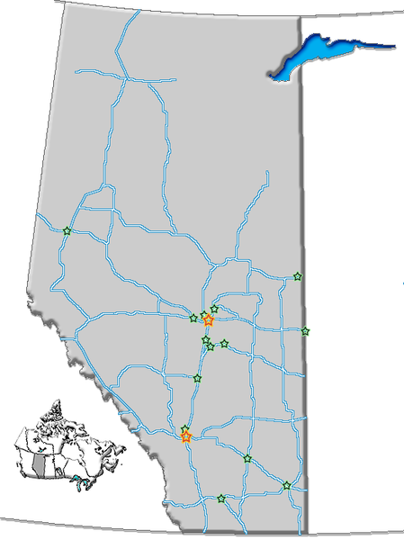
Summary
| Description | Map of Alberta with cities and roads |
| Date | |
| Source | GIS data |
| Author | Qyd (talk · contribs) |
| Permission (Reusing this file) |
All |
| Other versions | Image:AB-towns-roads.png (towns, cities, roads, names), Image:AB-towns-highways.png (simplified), Image:AB towns+names.png (towns, cities, roads) |
Licensing
| I, the copyright holder of this work, release this work into the public domain. This applies worldwide. In some countries this may not be legally possible; if so: I grant anyone the right to use this work for any purpose, without any conditions, unless such conditions are required by law. |
File history
Click on a date/time to view the file as it appeared at that time.
| Date/Time | Thumbnail | Dimensions | User | Comment | |
|---|---|---|---|---|---|
| current | 19:35, 31 December 2006 | | 524 × 700 (57 KB) | Qyd | {{Information |Description=Map of Alberta with cities and roads |Source=GIS data |Date=Oct 2006 |Author={{User|Qyd}} |Permission=All |other_versions=Image:AB-towns-roads.png (towns, cities, roads, names), Image:AB-towns-highways.png (simplif |
File usage
The following pages on the English Wikipedia use this file (pages on other projects are not listed):
Global file usage
The following other wikis use this file:
- Usage on es.wikipedia.org