
File:36 near Lindsay.png

Size of this preview: 800 × 584 pixels. Other resolutions: 320 × 234 pixels | 640 × 467 pixels | 1,024 × 748 pixels | 1,280 × 935 pixels | 2,560 × 1,870 pixels | 3,156 × 2,305 pixels.
Original file (3,156 × 2,305 pixels, file size: 20.85 MB, MIME type: image/png)
| This is a file from the Wikimedia Commons. Information from its description page there is shown below. Commons is a freely licensed media file repository. You can help. |
Summary
| Description |
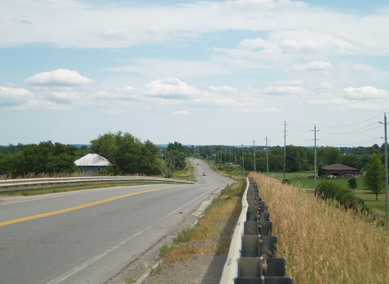
English: Highway 36 southbound, east of Lindsay, Ontario. The route ends in the distance at Highway 7 |
| Date | |
| Source |
Own work
|
| Author | Uploaded by Floydian at en.wikipedia |
| Camera location | | View this and other nearby images on: OpenStreetMap |
|---|
Licensing
This file is licensed under the Creative Commons Attribution-Share Alike 3.0 Unported license.
- You are free:
- to share – to copy, distribute and transmit the work
- to remix – to adapt the work
- Under the following conditions:
- attribution – You must give appropriate credit, provide a link to the license, and indicate if changes were made. You may do so in any reasonable manner, but not in any way that suggests the licensor endorses you or your use.
- share alike – If you remix, transform, or build upon the material, you must distribute your contributions under the same or compatible license as the original.
Original upload log
The original description page was here. All following user names refer to en.wikipedia.
Upload date | User | Bytes | Dimensions | Comment
- 2011-07-25 01:53 (UTC) | Floydian | 21861427 (bytes) | 3156×2305 | {{Information |Description=[[Highway 36]] southbound, east of [[Lindsay, Ontario]]. The route ends in the distance at [[Highway 7]] |Source={{own}} |Date=July 24, 2011 |Author=~~~ |Permission= |other_versions= }}
File history
Click on a date/time to view the file as it appeared at that time.
| Date/Time | Thumbnail | Dimensions | User | Comment | |
|---|---|---|---|---|---|
| current | 08:29, 12 December 2011 | | 3,156 × 2,305 (20.85 MB) | SreeBot | (Original text) : {{Information |Description=Highway 36 southbound, east of Lindsay, Ontario. The route ends in the distance at Highway 7 |Source={{own}} |Date=July 24, 2011 |Author=~~~ |Permission= |other_versions= }} |
File usage
The following pages on the English Wikipedia use this file (pages on other projects are not listed):