
File:2004 Zlinsky kraj.PNG
No higher resolution available.
2004_Zlinsky_kraj.PNG (619 × 356 pixels, file size: 12 KB, MIME type: image/png)
| This is a file from the Wikimedia Commons. Information from its description page there is shown below. Commons is a freely licensed media file repository. You can help. |
Summary
| Description |
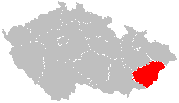
English: Locator map of Zlínský region from 2004
Čeština: Lokační mapa Zlínského kraje od 2004 |
| Date | |
| Source | Own work |
| Author | Hustoles |
Licensing
| I, the copyright holder of this work, release this work into the public domain. This applies worldwide. In some countries this may not be legally possible; if so: I grant anyone the right to use this work for any purpose, without any conditions, unless such conditions are required by law. |
File history
Click on a date/time to view the file as it appeared at that time.
| Date/Time | Thumbnail | Dimensions | User | Comment | |
|---|---|---|---|---|---|
| current | 21:36, 2 January 2016 | | 619 × 356 (12 KB) | Valdemar | new borders (law no. 15/2015 Coll.) |
| 09:11, 5 July 2011 |  | 619 × 356 (17 KB) | Fext | Zpřehlednění | |
| 17:43, 14 April 2011 |  | 619 × 356 (17 KB) | Hustoles | {{Information |Description ={{en|1=Locator map of Zlínský region from 2004}} {{cs|1=Lokační mapa Zlínského kraje od 2004}} |Source ={{own}} |Author =Hustoles |Date =14.4.2011 |Permission = |other_ve |
File usage
The following pages on the English Wikipedia use this file (pages on other projects are not listed):
Global file usage
The following other wikis use this file:
- Usage on az.wikipedia.org
- Usage on ca.wikipedia.org
- Usage on ceb.wikipedia.org
- Usage on ce.wikipedia.org
- Usage on cs.wikipedia.org
- Kraje v Česku
- Přebor Zlínského kraje
- I. A třída Zlínského kraje
- Wikipedie:WikiProjekt Fotografování/Požadované
- I. B třída Zlínského kraje
- III. třída okresu Kroměříž
- III. třída okresu Uherské Hradiště
- III. třída okresu Vsetín
- III. třída okresu Zlín
- IV. třída okresu Uherské Hradiště
- IV. třída okresu Vsetín
- IV. třída okresu Zlín
- Usage on cs.wikiversity.org
- Usage on ku.wikipedia.org
- Usage on lmo.wikipedia.org
- Usage on rue.wikipedia.org
- Usage on sr.wikipedia.org
- Usage on sv.wikipedia.org
- Usage on uk.wikipedia.org
- Usage on www.wikidata.org
- Usage on zh-yue.wikipedia.org