
File:1740 map of Armenia.jpg
Size of this preview: 800 × 549 pixels. Other resolutions: 320 × 220 pixels | 640 × 439 pixels | 806 × 553 pixels.
Original file (806 × 553 pixels, file size: 560 KB, MIME type: image/jpeg)
| This is a file from the Wikimedia Commons. Information from its description page there is shown below. Commons is a freely licensed media file repository. You can help. |
Summary
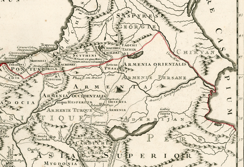
| Description |
Русский: Армения на карте 1740 года |
| Date | |
| Source | http://www.raremaps.com/gallery/detail/22549/Retraite_Des_Dix_Mille_Tabula_conspectum_exhibens_Regionum_omnium_quas/Buache.html |
| Author | Philippe Buache |
Licensing
|
This work is in the public domain in its country of origin and other countries and areas where the copyright term is the author's life plus 100 years or fewer. | |
| This file has been identified as being free of known restrictions under copyright law, including all related and neighboring rights. | |
File history
Click on a date/time to view the file as it appeared at that time.
| Date/Time | Thumbnail | Dimensions | User | Comment | |
|---|---|---|---|---|---|
| current | 22:29, 24 June 2010 | | 806 × 553 (560 KB) | Taron Saharyan~commonswiki | {{Information |Description={{ru|1=Армения на карте 1740 года}} |Source=http://www.raremaps.com/gallery/detail/22549/Retraite_Des_Dix_Mille_Tabula_conspectum_exhibens_Regionum_omnium_quas/Buache.html |Author=Philippe Buache |Date=1740 |Pe |
File usage
The following pages on the English Wikipedia use this file (pages on other projects are not listed):
Global file usage
The following other wikis use this file:
- Usage on ar.wikipedia.org
- Usage on ba.wikipedia.org
- Usage on be.wikipedia.org
- Usage on de.wikisource.org
- Usage on hy.wikipedia.org
- Usage on it.wikipedia.org
- Usage on lv.wikipedia.org
- Usage on pnb.wikipedia.org
- Usage on ru.wikipedia.org
- Usage on uk.wikipedia.org
- Usage on ur.wikipedia.org