
File:Šumadijski okrug.PNG

Size of this preview: 420 × 599 pixels. Other resolutions: 168 × 240 pixels | 336 × 480 pixels | 538 × 768 pixels | 717 × 1,024 pixels | 1,824 × 2,603 pixels.
Original file (1,824 × 2,603 pixels, file size: 377 KB, MIME type: image/png)
| This is a file from the Wikimedia Commons. Information from its description page there is shown below. Commons is a freely licensed media file repository. You can help. |
| Description |
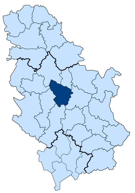
English: Location of Sumadija district in Serbia. |
| Date | (UTC) |
| Source | |
| Author |
|
I, the copyright holder of this work, hereby publish it under the following license:
| I, the copyright holder of this work, release this work into the public domain. This applies worldwide. In some countries this may not be legally possible; if so: I grant anyone the right to use this work for any purpose, without any conditions, unless such conditions are required by law. |
Original upload log
This image is a derivative work of the following images:
- File:Disricts_of_Serbia.png licensed with PD-self
- 2010-09-30T17:13:55Z Vanjagenije 1824x2603 (468603 Bytes) {{Information |Description={{en|1=Map of disricts of Serbia}} {{sr|1=Карта округа Србијe (енглеска верзија)}} |Source=*[[:File:Disricts_of_Serbia_by_population_density.svg|]] |Date=2010-09-30 17
Uploaded with derivativeFX
File history
Click on a date/time to view the file as it appeared at that time.
| Date/Time | Thumbnail | Dimensions | User | Comment | |
|---|---|---|---|---|---|
| current | 13:06, 7 March 2011 | | 1,824 × 2,603 (377 KB) | Vanjagenije | {{Information |Description={{en|1=Location of Sumadija district in Serbia.}} |Source=*Disricts_of_Serbia.png |Date=2011-03-07 12:51 (UTC) |Author=*Disricts_of_Serbia.png: *[[:File:Disricts_ |
File usage
The following pages on the English Wikipedia use this file (pages on other projects are not listed):
Global file usage
The following other wikis use this file:
- Usage on be-tarask.wikipedia.org
- Usage on ca.wikipedia.org
- Usage on es.wikipedia.org
- Usage on fa.wikipedia.org
- Usage on fr.wikipedia.org
- Usage on id.wikipedia.org
- Usage on mk.wikipedia.org
- Usage on or.wikipedia.org
- Usage on pnb.wikipedia.org
- Usage on sco.wikipedia.org
- Usage on th.wikipedia.org
- Usage on tr.wikipedia.org
- Usage on ur.wikipedia.org
- Usage on vi.wikipedia.org
- Usage on www.wikidata.org
- Usage on zh-min-nan.wikipedia.org