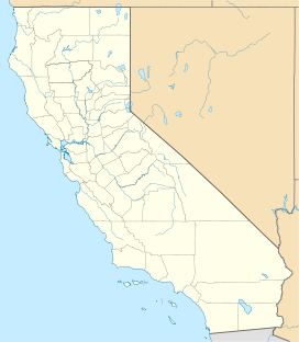
Tuolumne Grove
| Tuolumne Grove | |
|---|---|
 Tuolumne Grove | |
| Map | |
| Geography | |
| Location | Tuolumne County, California, United States |
| Coordinates | 37°46′09″N 119°48′36″W / 37.76917°N 119.81000°W |
| Elevation | 5,600–5,900 ft (1,700–1,800 m) |
| Ecology | |
| Dominant tree species | Sequoiadendron giganteum |
Tuolumne Grove is a giant sequoia grove located near Crane Flat in Yosemite National Park, at the southeastern edge of the Tuolumne River watershed.[1] It is about 16 miles (26 km) west of Yosemite Village on Tioga Pass Road. The grove contains many conifers, including a few Sequoiadendron giganteum as well as Abies concolor and Pinus lambertiana.
The grove hosts about six visible giant sequoias amongst a dense understory of dogwood. The grove also features the "Dead Giant", a fallen giant sequoia with a stagecoach-sized tunnel cut through it.[2][3]
Gallery[edit]
-
Tuolumne Grove Trailhead
-
The largest tree in Tuolumne Grove
-
The Dead Giant
-
The roots of a fallen giant sequoia.

See also[edit]
- List of giant sequoia groves
- Merced Grove - a nearby giant sequoia grove
References[edit]
- ^ "Tuolumne Grove". Geographic Names Information System. United States Geological Survey, United States Department of the Interior.
- ^ "Yosemite Giant Sequoias". National Park Service. Retrieved 2008-05-10.
- ^ "Tuolumne Grove". www.redwoodhikes.com. Retrieved 2019-11-11.
Wikimedia Commons has media related to Tuolumne Grove.


