
File:Yōrō Valley 01.jpg
Size of this preview: 800 × 451 pixels. Other resolutions: 320 × 180 pixels | 640 × 361 pixels | 900 × 507 pixels.
Original file (900 × 507 pixels, file size: 169 KB, MIME type: image/jpeg)
| This is a file from the Wikimedia Commons. Information from its description page there is shown below. Commons is a freely licensed media file repository. You can help. |
Summary
| Description |
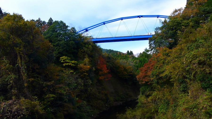
English: A view downstream and west-northwest of the Yōrō River from Hōei-bashi bridge in Ichihara, Chiba, Japan. --->See the map. |
| Date | |
| Source | 2008-11-fz18-4 |
| Author | coniferconifer |
| Permission (Reusing this file) |
| Camera location | | View this and other nearby images on: OpenStreetMap |
|---|
Licensing
This file is licensed under the Creative Commons Attribution-Share Alike 3.0 Unported license.
- You are free:
- to share – to copy, distribute and transmit the work
- to remix – to adapt the work
- Under the following conditions:
- attribution – You must give appropriate credit, provide a link to the license, and indicate if changes were made. You may do so in any reasonable manner, but not in any way that suggests the licensor endorses you or your use.
- share alike – If you remix, transform, or build upon the material, you must distribute your contributions under the same or compatible license as the original.
This image, which was originally posted to Picasa Web Albums, was reviewed on 8 December 2011 by the administrator or reviewer Ww2censor, who confirmed that it was available on Picasa Web Albums under the above license on that date.
|
File history
Click on a date/time to view the file as it appeared at that time.
| Date/Time | Thumbnail | Dimensions | User | Comment | |
|---|---|---|---|---|---|
| current | 00:37, 8 December 2011 | | 900 × 507 (169 KB) | トトト | {{Information |Description={{ja|1=養老川にかかる渓谷橋。千葉県市原市朝生原の宝衛橋付近から下流方向。 --->地図は[http://www.mapion.co.jp/m/35.2602986111111_140.161 |
File usage
The following pages on the English Wikipedia use this file (pages on other projects are not listed):