File:Wrexham UK ward map (blank) 2022.svg

Page contents not supported in other languages.
This is a file from the Wikimedia Commons
From Wikipedia, the free encyclopedia

Original file(SVG file, nominally 512 × 362 pixels, file size: 1.96 MB)

Summary

Description
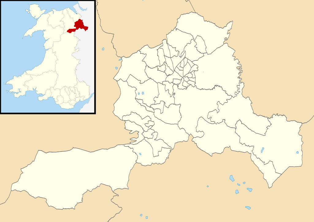
English: Blank map of the forty-nine electoral wards of Wrexham County Borough, used for Wrexham County Borough elections since 2022.

Other attribution:

Derivative description:

Equirectangular map projection on WGS 84 datum, with N/S stretched 165%

Geographic limits:

  • West: 3.40W
  • East: 2.70W
  • North: 53.15N
  • South: 52.85N
Date
Source

Ordnance Survey OpenData.
Local Democracy and Boundary Commission for Wales Final Recommendations Review.
Wrexham County Borough Council Map Data

  • Most derivative data from Boundary-Line product.
  • Lake derivative data from Meridian 2 product.
  • Inset derived from File:Wales location map.svg by NordNordWest.
  • Ward boundaries from WCBC map using LDBCW and OS data.
 
This vector image includes elements that have been taken or adapted from this file:
Wrexham UK ward map (blank).svg (by Nilfanion).
 
This vector image includes elements that have been taken or adapted from this file:
Wales location map.svg (by NordNordWest).
Author Dank · Jay
Permission
(Reusing this file)
w:en:Creative Commons
attribution share alike
This file is licensed under the Creative Commons Attribution-Share Alike 3.0 Unported license.
Attribution: Contains Ordnance Survey data © Crown copyright and database right; © Local Democracy and Boundary Commission for Wales, 2020, licensed under the Open Government Licence
You are free:
  • to share – to copy, distribute and transmit the work
  • to remix – to adapt the work
Under the following conditions:
  • attribution – You must give appropriate credit, provide a link to the license, and indicate if changes were made. You may do so in any reasonable manner, but not in any way that suggests the licensor endorses you or your use.
  • share alike – If you remix, transform, or build upon the material, you must distribute your contributions under the same or compatible license as the original.

Licensing

This file is licensed under the United Kingdom Open Government Licence v3.0.
You are free to:
  • copy, publish, distribute and transmit the Information;
  • adapt the Information;
  • exploit the Information commercially and non-commercially for example, by combining it with other Information, or by including it in your own product or application.
You must, where you do any of the above:
  • acknowledge the source of the Information in your product or application by including or linking to any attribution statement specified by the Information Provider(s) and, where possible, provide a link to this licence;
  • If the Information Provider does not provide a specific attribution statement, you must use the following:
Contains public sector information licensed under the Open Government Licence v3.0.
This licence does NOT cover:
  • personal data in the Information;
  • Information that has not been accessed by way of publication or disclosure under information access legislation (including the Freedom of Information Acts for the UK and Scotland) by or with the consent of the Information Provider;
  • departmental or public sector organisation logos, crests and the Royal Arms except where they form an integral part of a document or dataset;
  • military insignia;
  • third party rights the Information Provider is not authorised to license;
  • other intellectual property rights, including patents, trade marks, and design rights; and
  • identity documents such as the British Passport.
Consult this guide for full details.
Note: Since 2010, almost all information owned by the UK Crown is offered for use and re-use under the Open Government Licence by authority of The Controller of His Majesty's Stationery Office.info
See also: Meta for information on usage on Wikimedia wikis.

Captions

Map of the forty-nine electoral wards of Wrexham County Borough since 2022.

8 May 2022

File history

Click on a date/time to view the file as it appeared at that time.

Date/TimeThumbnailDimensionsUserComment
current00:20, 8 May 2022Thumbnail for version as of 00:20, 8 May 2022512 × 362 (1.96 MB)DankJaeUploaded own work with UploadWizard
The following pages on the English Wikipedia use this file (pages on other projects are not listed):

Metadata