
File:Whitkahu census areas.jpg
Size of this preview: 800 × 484 pixels. Other resolutions: 320 × 193 pixels | 640 × 387 pixels | 1,024 × 619 pixels | 1,452 × 878 pixels.
Original file (1,452 × 878 pixels, file size: 45 KB, MIME type: image/jpeg)
| This is a file from the Wikimedia Commons. Information from its description page there is shown below. Commons is a freely licensed media file repository. You can help. |
Summary
| Description |
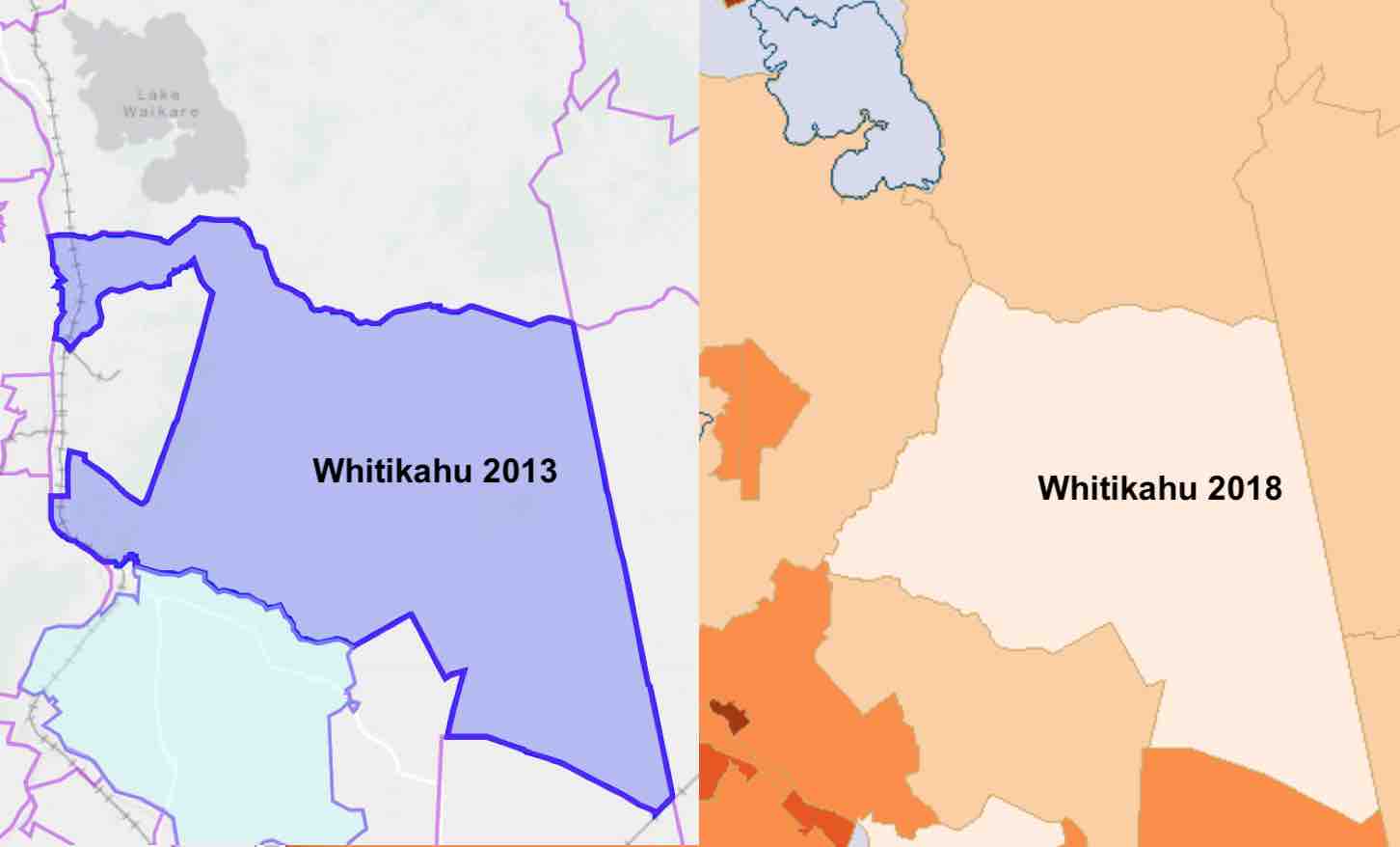
English: Whitkahu census areas |
| Date | |
| Source | http://statsnz.maps.arcgis.com/apps/MapSeries/index.html?appid=363cada2473a451d9f92ba0a4edc423a and http://archive.stats.govt.nz/StatsMaps/Home/People%20and%20households/2013-census-quickstats-about-a-place-map.aspx |
| Author | StatsNZ |
Licensing
This file is licensed under the Creative Commons Attribution 4.0 International license.
- You are free:
- to share – to copy, distribute and transmit the work
- to remix – to adapt the work
- Under the following conditions:
- attribution – You must give appropriate credit, provide a link to the license, and indicate if changes were made. You may do so in any reasonable manner, but not in any way that suggests the licensor endorses you or your use.
File history
Click on a date/time to view the file as it appeared at that time.
| Date/Time | Thumbnail | Dimensions | User | Comment | |
|---|---|---|---|---|---|
| current | 21:03, 7 March 2020 | | 1,452 × 878 (45 KB) | Johnragla | Uploaded a work by StatsNZ from http://statsnz.maps.arcgis.com/apps/MapSeries/index.html?appid=363cada2473a451d9f92ba0a4edc423a and http://archive.stats.govt.nz/StatsMaps/Home/People%20and%20households/2013-census-quickstats-about-a-place-map.aspx with UploadWizard |
File usage
The following pages on the English Wikipedia use this file (pages on other projects are not listed):