
File:WBRUZEK-1729.jpg
Size of this preview: 800 × 533 pixels. Other resolutions: 320 × 213 pixels | 640 × 427 pixels | 1,024 × 682 pixels | 1,280 × 853 pixels.
Original file (1,280 × 853 pixels, file size: 790 KB, MIME type: image/jpeg)
| This is a file from the Wikimedia Commons. Information from its description page there is shown below. Commons is a freely licensed media file repository. You can help. |
Summary
| Description |
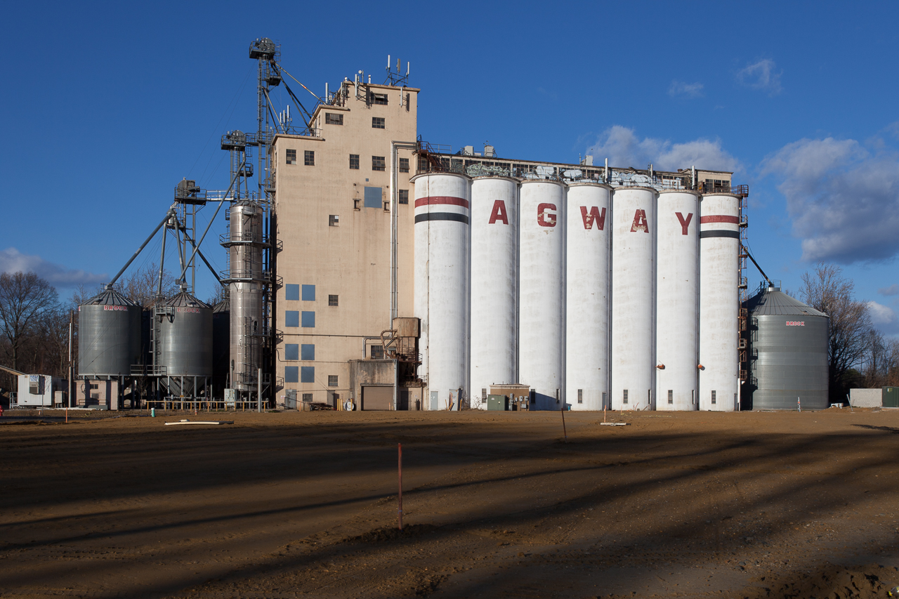
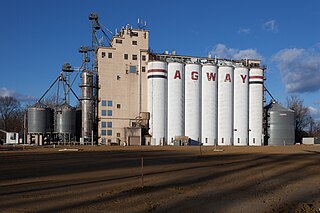
English: Agway Grain Silos on Route 130 in Bordentown, New Jersey. |
| Date | |
| Source | Own work |
| Author | Wayne J. Bruzek (user Wjbruzek) |
| Camera location | | View this and other nearby images on: OpenStreetMap |
|---|
This photograph was taken by Wayne Bruzek (User:Wjbruzek) and released under the license(s) stated below. You are free to use it as long as you credit me and follow the terms of the license. Attribution : © Bruzek, Wayne
Licensing
I, the copyright holder of this work, hereby publish it under the following license:
This file is licensed under the Creative Commons Attribution-Share Alike 3.0 Unported license.
- You are free:
- to share – to copy, distribute and transmit the work
- to remix – to adapt the work
- Under the following conditions:
- attribution – You must give appropriate credit, provide a link to the license, and indicate if changes were made. You may do so in any reasonable manner, but not in any way that suggests the licensor endorses you or your use.
- share alike – If you remix, transform, or build upon the material, you must distribute your contributions under the same or compatible license as the original.
File history
Click on a date/time to view the file as it appeared at that time.
| Date/Time | Thumbnail | Dimensions | User | Comment | |
|---|---|---|---|---|---|
| current | 12:47, 30 November 2013 | | 1,280 × 853 (790 KB) | Wjbruzek | User created page with UploadWizard |
File usage
The following pages on the English Wikipedia use this file (pages on other projects are not listed):