
File:Unasur other members.svg

Size of this PNG preview of this SVG file: 460 × 599 pixels. Other resolutions: 184 × 240 pixels | 368 × 480 pixels | 590 × 768 pixels | 786 × 1,024 pixels | 1,572 × 2,048 pixels | 7,530 × 9,808 pixels.
Original file (SVG file, nominally 7,530 × 9,808 pixels, file size: 3.93 MB)
| This is a file from the Wikimedia Commons. Information from its description page there is shown below. Commons is a freely licensed media file repository. You can help. |
Summary
| Description |
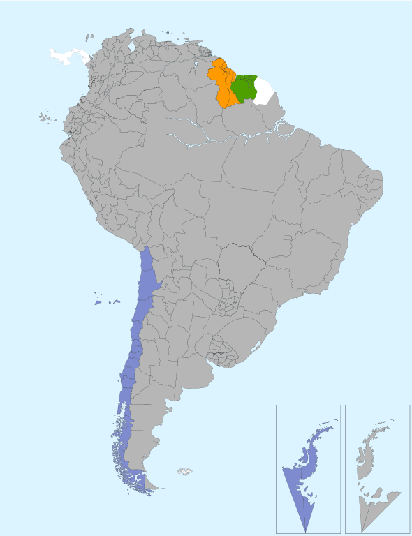
English: Other members of Unasur not members of Mercosur or Andean Community
Español: Otros miembros, no pertenecientes a Mercosur or Comunidad Andina |
| Date | |
| Source | Own work |
| Author | Camilo Sanchez |
Licensing
I, the copyright holder of this work, hereby publish it under the following license:
This file is licensed under the Creative Commons Attribution 3.0 Unported license.
- You are free:
- to share – to copy, distribute and transmit the work
- to remix – to adapt the work
- Under the following conditions:
- attribution – You must give appropriate credit, provide a link to the license, and indicate if changes were made. You may do so in any reasonable manner, but not in any way that suggests the licensor endorses you or your use.
File history
Click on a date/time to view the file as it appeared at that time.
| Date/Time | Thumbnail | Dimensions | User | Comment | |
|---|---|---|---|---|---|
| current | 22:37, 10 November 2013 | | 7,530 × 9,808 (3.93 MB) | Denniss | Reverted to version as of 14:22, 9 November 2013 |
| 09:19, 10 November 2013 |  | 7,530 × 9,808 (3.91 MB) | Sdonatti | Removed double instantiation of Antarctic territories and ensured color consistency with the other maps.This and previous version are conceptually the same no need to revert. | |
| 14:22, 9 November 2013 |  | 7,530 × 9,808 (3.93 MB) | Danlaycock | revert to stable version - please upload your variant under a new filename | |
| 09:41, 6 November 2013 |  | 7,530 × 9,808 (3.91 MB) | Sdonatti | Removed double instantiation of Antarctic territories and ensured color consistency with the other maps. | |
| 21:57, 4 November 2013 |  | 7,530 × 9,808 (3.93 MB) | Chipmunkdavis | Reverted to version as of 10:20, 26 October 2013 Selective showing of disputes to push a POV | |
| 09:00, 28 October 2013 |  | 7,530 × 9,808 (3.91 MB) | Sdonatti | Claimed territories are now distinguished within a red square in the map and leave no room for misinterpretations. | |
| 15:16, 26 October 2013 |  | 7,530 × 9,808 (3.91 MB) | Sdonatti | Removed double instantiation of Antarctic territories and ensured color consistency with the other maps. | |
| 10:20, 26 October 2013 |  | 7,530 × 9,808 (3.93 MB) | Chipmunkdavis | Reverted to version as of 14:15, 25 October 2013 Previous "change" was a reversion. If you want to upload a map showing a certain POV, do it as a new file. | |
| 19:24, 25 October 2013 |  | 7,530 × 9,808 (3.91 MB) | Sdonatti | Removed double instantiation of antartic territories and ensured color consistency with the other maps. | |
| 14:15, 25 October 2013 |  | 7,530 × 9,808 (3.93 MB) | Chipmunkdavis | Rv per all previous notes. |
File usage
The following pages on the English Wikipedia use this file (pages on other projects are not listed):
Global file usage
The following other wikis use this file:
- Usage on ast.wikipedia.org
- Usage on fa.wikipedia.org
- Usage on mzn.wikipedia.org
- Usage on pt.wikipedia.org