
File:Soybean field in Harrison Township.jpg

Size of this preview: 800 × 450 pixels. Other resolutions: 320 × 180 pixels | 640 × 360 pixels | 1,024 × 576 pixels | 1,280 × 720 pixels | 2,816 × 1,584 pixels.
Original file (2,816 × 1,584 pixels, file size: 1.42 MB, MIME type: image/jpeg)
| This is a file from the Wikimedia Commons. Information from its description page there is shown below. Commons is a freely licensed media file repository. You can help. |
| Camera location | | View this and other nearby images on: OpenStreetMap |
|---|
| Description |
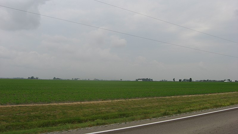
English: Countryside on the southern side of State Route 111 west of Paulding in Harrison Township, Paulding County, Ohio, United States. The site lies about 0.2 miles east of the Township Road 51 intersection. |
||
| Date | Taken on 29 May 2012 | ||
| Source | Own work | ||
| Author | Nyttend | ||
| Permission (Reusing this file) |
|
File history
Click on a date/time to view the file as it appeared at that time.
| Date/Time | Thumbnail | Dimensions | User | Comment | |
|---|---|---|---|---|---|
| current | 20:41, 1 July 2012 | | 2,816 × 1,584 (1.42 MB) | Nyttend | {{Location|41|8|9|N|84|42|16|W}} {{Information |Description={{en|Countryside on the southern side of {{w|Ohio State Route 111|State Route 111}} west of {{w|Paulding, Ohio|Paulding}} in {{w|Harrison Township, Paulding County, Ohio|Harrison Township}}, {... |
File usage
The following pages on the English Wikipedia use this file (pages on other projects are not listed):
Global file usage
The following other wikis use this file:
- Usage on es.wikipedia.org
- Usage on eu.wikipedia.org
- Usage on fa.wikipedia.org
- Usage on pl.wikipedia.org
- Usage on pt.wikipedia.org
- Usage on ur.wikipedia.org
- Usage on vi.wikipedia.org
- Usage on www.wikidata.org
- Usage on zh.wikipedia.org