
File:River Grom and footpath in Friezland Wood - geograph.org.uk - 1736847.jpg
Size of this preview: 800 × 600 pixels. Other resolutions: 320 × 240 pixels | 640 × 480 pixels | 1,024 × 768 pixels | 1,280 × 960 pixels | 2,560 × 1,920 pixels | 3,072 × 2,304 pixels.
Original file (3,072 × 2,304 pixels, file size: 2.87 MB, MIME type: image/jpeg)
| This is a file from the Wikimedia Commons. Information from its description page there is shown below. Commons is a freely licensed media file repository. You can help. |
Summary
| Description |
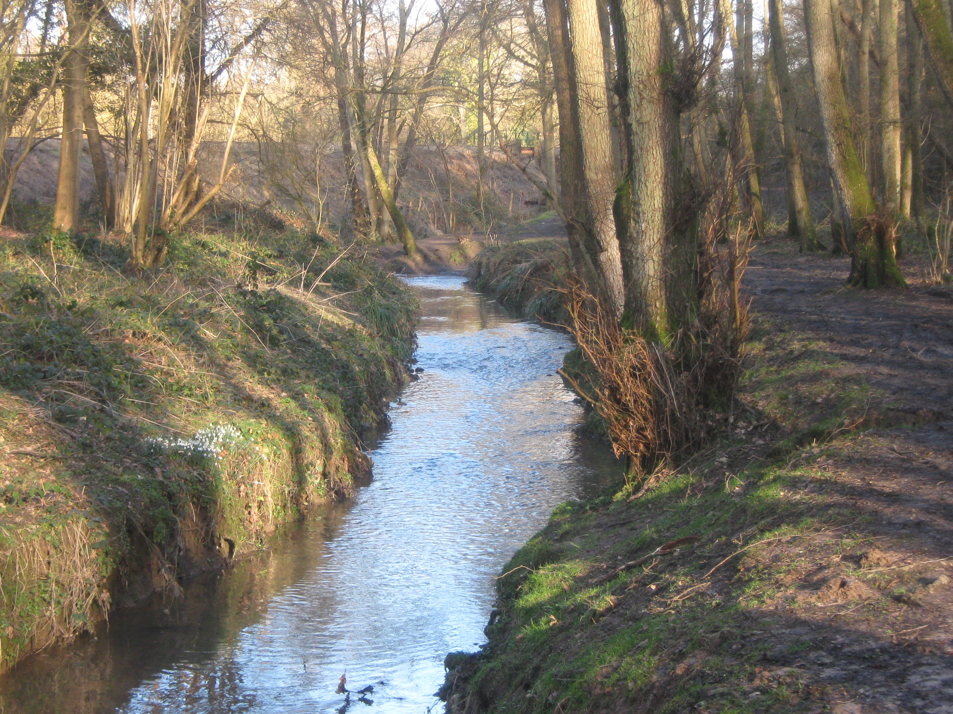
English: River Grom and footpath in Friezland Wood This river leads from Groombridge towards Tunbridge Wells.
The footpath (on the right) leads from High Rocks Lane towards the A26 Eridge Road, it is part of the link route for the Tunbridge Wells Circular (long distance path) heading from Groombridge towards Tunbridge Wells. The wood is managed by the Woodland Trust. A small patch of snowdrops can be seen on the left beside the river. In the background is the embankment for the Spa Valley Railway. |
| Date | |
| Source | From geograph.org.uk |
| Author | David Anstiss |
| Attribution (required by the license) | David Anstiss / River Grom and footpath in Friezland Wood / |
| Camera location | | View this and other nearby images on: OpenStreetMap |
|---|
_heading:45.00&language=en)
| Object location | | View this and other nearby images on: OpenStreetMap |
|---|
_heading:45.00&language=en)
Licensing

|
This image was taken from the Geograph project collection. See this photograph's page on the Geograph website for the photographer's contact details. The copyright on this image is owned by David Anstiss and is licensed for reuse under the Creative Commons Attribution-ShareAlike 2.0 license.
|
This file is licensed under the Creative Commons Attribution-Share Alike 2.0 Generic license.
Attribution: David Anstiss
- You are free:
- to share – to copy, distribute and transmit the work
- to remix – to adapt the work
- Under the following conditions:
- attribution – You must give appropriate credit, provide a link to the license, and indicate if changes were made. You may do so in any reasonable manner, but not in any way that suggests the licensor endorses you or your use.
- share alike – If you remix, transform, or build upon the material, you must distribute your contributions under the same or compatible license as the original.
File history
Click on a date/time to view the file as it appeared at that time.
| Date/Time | Thumbnail | Dimensions | User | Comment | |
|---|---|---|---|---|---|
| current | 16:13, 5 March 2011 | | 3,072 × 2,304 (2.87 MB) | GeographBot | == {{int:filedesc}} == {{Information |description={{en|1=River Grom and footpath in Friezland Wood This river leads from Groombridge towards Tunbridge Wells. The footpath (on the right) leads from High Rocks Lane towards the A26 Eridge Road, it is part o |
File usage
The following pages on the English Wikipedia use this file (pages on other projects are not listed):