
File:River Dean catchment area.png
Size of this preview: 719 × 600 pixels. Other resolutions: 288 × 240 pixels | 576 × 480 pixels | 771 × 643 pixels.
Original file (771 × 643 pixels, file size: 37 KB, MIME type: image/png)
| This is a file from the Wikimedia Commons. Information from its description page there is shown below. Commons is a freely licensed media file repository. You can help. |
Summary
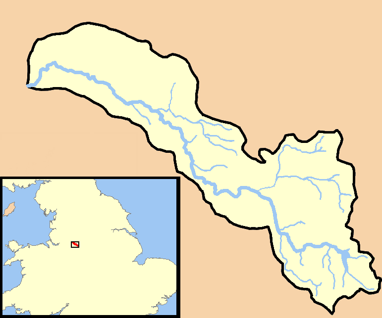
| Description | A map showing the catchment area/drainage basin of the River Dean in Cheshire, UK. |
| Date | |
| Source | self-made - based on data from the New Popular Edition series Ordnance Survey maps. Maps used published 1948 and 1949, now out of copyright since more than 50 years have elapsed since publication. |
| Author | RichardB |
Licensing
| I, the copyright holder of this work, release this work into the public domain. This applies worldwide. In some countries this may not be legally possible; if so: I grant anyone the right to use this work for any purpose, without any conditions, unless such conditions are required by law. |
File history
Click on a date/time to view the file as it appeared at that time.
| Date/Time | Thumbnail | Dimensions | User | Comment | |
|---|---|---|---|---|---|
| current | 22:52, 22 April 2007 | | 771 × 643 (37 KB) | RichardB | {{Information |Description=A map showing the catchment area/drainage basin of the River Dean in Cheshire, UK. |Source=self-made - based on data from the New Popular Edition series Ordnance Survey maps. Maps used published 1948 and 1949, now out of copyrig |
File usage
The following pages on the English Wikipedia use this file (pages on other projects are not listed):