
File:Plantage muidergracht nieuwe keizersgracht.jpg

Size of this preview: 800 × 600 pixels. Other resolutions: 320 × 240 pixels | 640 × 480 pixels | 1,024 × 768 pixels | 1,280 × 960 pixels | 2,000 × 1,500 pixels.
Original file (2,000 × 1,500 pixels, file size: 1.3 MB, MIME type: image/jpeg)
| This is a file from the Wikimedia Commons. Information from its description page there is shown below. Commons is a freely licensed media file repository. You can help. |
Summary
| Description |
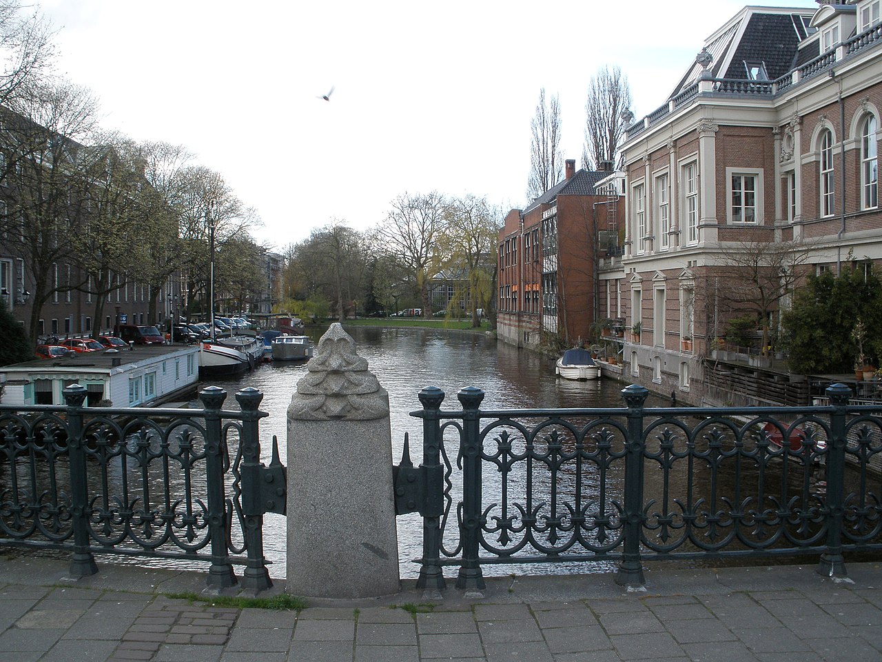
Plantage Muidergracht / Nieuwe Herengracht canal in Amsterdam, taken from the bridge between Roeterstraat / Plantage Kerklaan. The street on the left bank of the canal is called Nieuwe Keizersgracht, on the right side (behind the buildings) the street is called Plantage Muidergracht
|
||||
| Date | |||||
| Source | Own work | ||||
| Author | Jvhertum |
| Object location | | View this and other nearby images on: OpenStreetMap |
|---|
Licensing
| I, the copyright holder of this work, release this work into the public domain. This applies worldwide. In some countries this may not be legally possible; if so: I grant anyone the right to use this work for any purpose, without any conditions, unless such conditions are required by law. |
File history
Click on a date/time to view the file as it appeared at that time.
| Date/Time | Thumbnail | Dimensions | User | Comment | |
|---|---|---|---|---|---|
| current | 18:32, 6 April 2008 | | 2,000 × 1,500 (1.3 MB) | Jvhertum | {{Information |Description=Plantage Muidergracht / Nieuwe Herengracht canal in Amsterdam, taken from the bridge between Roeterstraat / Plantage Kerklaan. Thee street on the left bank of the canal is called Nieuwe Herengracht, on the right side the street |
File usage
The following pages on the English Wikipedia use this file (pages on other projects are not listed):
Global file usage
The following other wikis use this file:
- Usage on fr.wikipedia.org
- Usage on nl.wikipedia.org