
File:Pittsburgh locator map.png
No higher resolution available.
Pittsburgh_locator_map.png (744 × 504 pixels, file size: 505 KB, MIME type: image/png)
| This is a file from the Wikimedia Commons. Information from its description page there is shown below. Commons is a freely licensed media file repository. You can help. |
Summary
| Description |
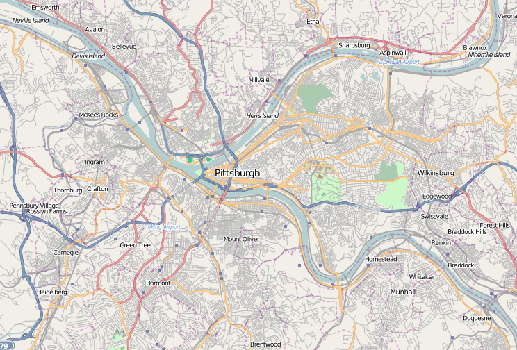
English: A map of the city of Pittsburgh and its surrounding areas |
||
| Date | |||
| Source | Base map generated by OpenStreetMap.org Dudemanfellabra | ||
| Author | Open Street Map contributors | ||
| Permission (Reusing this file) |
OpenStreetMap license | ||
| Other versions |
|

Licensing
This file is licensed under the Creative Commons Attribution-Share Alike 2.0 Generic license.
- You are free:
- to share – to copy, distribute and transmit the work
- to remix – to adapt the work
- Under the following conditions:
- attribution – You must give appropriate credit, provide a link to the license, and indicate if changes were made. You may do so in any reasonable manner, but not in any way that suggests the licensor endorses you or your use.
- share alike – If you remix, transform, or build upon the material, you must distribute your contributions under the same or compatible license as the original.
File history
Click on a date/time to view the file as it appeared at that time.
| Date/Time | Thumbnail | Dimensions | User | Comment | |
|---|---|---|---|---|---|
| current | 04:07, 6 January 2010 | | 744 × 504 (505 KB) | Dudemanfellabra | {{Information |Description={{en|1=A map of the city of Pittsburgh and its surrounding areas}} |Source={{own}} |Author=Dudemanfellabra |Date=2010-01-05 |Permission= |other_versions= }} Category:Maps of Pittsburgh |
File usage
No pages on the English Wikipedia use this file (pages on other projects are not listed).
Global file usage
The following other wikis use this file:
- Usage on ar.wikipedia.org
- Usage on ceb.wikipedia.org
- Usage on fa.wikipedia.org
- Usage on fr.wikipedia.org
- Fort Duquesne
- PNC Park
- Three Rivers Stadium
- Petersen Events Center
- Musée Carnegie d'histoire naturelle
- The Andy Warhol Museum
- The Carlyle (Pittsburgh)
- City View
- Carnegie Museum of Art
- Fort Pitt (Pittsburgh)
- Modèle:Géolocalisation/Pittsburgh
- Oliver Building
- Église du Cœur-Immaculé-de-Marie de Pittsburgh
- Module:Carte/données/pittsburgh
- Frick Building
- Fusillade dans une synagogue de Pittsburgh
- Carnegie Science Center
- USS Requin (SS-481)
- Usage on pl.wikipedia.org
- Bitwa o Fort Duquesne
- Uniwersytet Pittsburski
- Civic Arena (Pittsburgh)
- Carnegie Mellon University
- U.S. Steel Tower
- One Mellon Center
- PPG Place
- Highmark Place
- Oxford Centre
- Carnegie Museum of Art
- Heinz Field
- PNC Park
- Konsulat RP w Pittsburghu
- Moduł:Mapa/dane/Pittsburgh
- PPG Paints Arena
- PPG Industries
- Usage on pl.wikibooks.org
- Usage on war.wikipedia.org