
File:Pennsylvania Locator Map.PNG
Size of this preview: 800 × 460 pixels. Other resolutions: 320 × 184 pixels | 640 × 368 pixels | 964 × 554 pixels.
Original file (964 × 554 pixels, file size: 13 KB, MIME type: image/png)
| This is a file from the Wikimedia Commons. Information from its description page there is shown below. Commons is a freely licensed media file repository. You can help. |
Summary
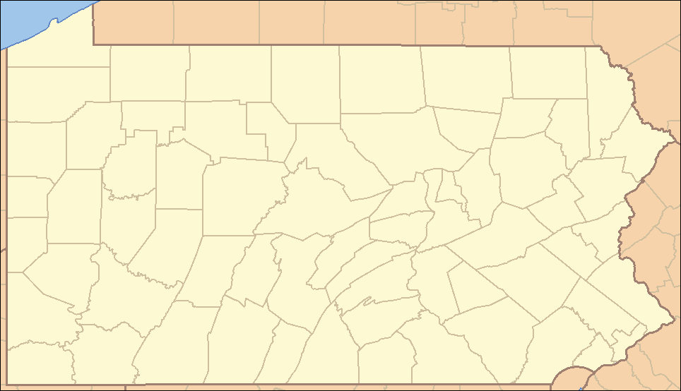
| Description | Locator Map of Pennsylvania, United States |
| Date | |
| Source | taken from US Census website [1] and modified by User:Ruhrfisch |
| Author | US Census, Ruhrfisch |
| Permission (Reusing this file) |
US Census / US Government work is public domain, myations licensed under the GNU Free Documentation License |
| Other versions |
Derivative works of this file: Location Caln Township.png four (with slightly different color schemes or smaller size), a vector version is at Image:Pennsylvania Locator Map.svg |
Licensing
I, Ruhrfisch, the copyright holder of this work, hereby publishes it under the following licenses:

|
Permission is granted to copy, distribute and/or modify this document under the terms of the GNU Free Documentation License, Version 1.2 or any later version published by the Free Software Foundation; with no Invariant Sections, no Front-Cover Texts, and no Back-Cover Texts. A copy of the license is included in the section entitled GNU Free Documentation License. |
| This file is licensed under the Creative Commons Attribution-Share Alike 3.0 Unported license. | ||
| Attribution: I, Ruhrfisch | ||
| ||
| This licensing tag was added to this file as part of the GFDL licensing update. |
This file is licensed under the Creative Commons Attribution-Share Alike 2.5 Generic license.
Attribution: I, Ruhrfisch
- You are free:
- to share – to copy, distribute and transmit the work
- to remix – to adapt the work
- Under the following conditions:
- attribution – You must give appropriate credit, provide a link to the license, and indicate if changes were made. You may do so in any reasonable manner, but not in any way that suggests the licensor endorses you or your use.
- share alike – If you remix, transform, or build upon the material, you must distribute your contributions under the same or compatible license as the original.
You may select the license of your choice.
and
This image or file is a work of a United States Census Bureau employee, taken or made as part of that person's official duties. As a work of the U.S. federal government, the image is in the public domain.
|
 |
File history
Click on a date/time to view the file as it appeared at that time.
| Date/Time | Thumbnail | Dimensions | User | Comment | |
|---|---|---|---|---|---|
| current | 22:35, 22 March 2009 | | 964 × 554 (13 KB) | Mahahahaneapneap | Compressed |
| 15:47, 5 September 2007 |  | 964 × 554 (35 KB) | Ruhrfisch | Very minor fixes of a dozen or so incorrectly colored pixels in the body of the map (no border information pixels changed). All other information the same. | |
| 04:07, 25 April 2007 |  | 964 × 554 (35 KB) | Ruhrfisch | {{Information| |Description= Locator Map of Pennsylvania, United States |Source= taken from US Census website [http://factfinder.census.gov/] and modified by User:Ruhrfisch |Date= April 2007 |Author= US Census, Ruhrfisch |Permission= US Census / US G | |
| 01:25, 23 April 2007 |  | 964 × 554 (35 KB) | Ruhrfisch | {{Information| |Description= Locator Map of Pennsylvania, United States |Source= taken from US Census website [http://factfinder.census.gov/] and modified by User:Ruhrfisch |Date= APril 2007 |Author= US Census, Ruhrfisch |Permission= US Census / US G | |
| 05:07, 9 April 2007 |  | 962 × 552 (35 KB) | Ruhrfisch | {{Information| |Description= Locator Map of Pennsylvania, United States |Source= taken from US Census website [http://factfinder.census.gov/] and modified by User:Ruhrfisch |Date= April 2007 |Author= US Census, Ruhrfisch |Permission= US Census / US G | |
| 04:50, 9 April 2007 |  | 327 × 193 (8 KB) | Ruhrfisch | {{Information| |Description= Locator Map of Pennsylvania, United States |Source= taken from US Census website [http://factfinder.census.gov/] and modified by User:Ruhrfisch |Date= April 2007 |Author= US Census, Ruhrfisch |Permission= US Census / US G | |
| 12:59, 28 July 2006 |  | 288 × 168 (26 KB) | Ruhrfisch | {{Information| |Description= Locator Map of Pennsylvania, United States |Source= taken from US Census website [http://factfinder.census.gov/] and modified by User:Ruhrfisch |Date= July 2006 |Author= US Census, Ruhrfisch |Permission= US Census / US Go |
File usage
The following pages on the English Wikipedia use this file (pages on other projects are not listed):
- List of Pennsylvania state parks
- User:Gerry D/archive2
- User:Gerry D/archive3
- User:IvoShandor/Recognitions
- User:Ruhrfisch
- User:Ruhrfisch/Pages
- User:Ruhrfisch/Sandbox
- User:Sebwite/posmap
- User talk:AceYYC/Archive2
- User talk:AndyZ/Archive 7
- User talk:Bcasterline
- User talk:Choess/Archive4
- User talk:Decumanus
- User talk:IvoShandor/Archive Apr 2007
- User talk:Michaelas10/Archive/Archive 04
- User talk:Nationalparks/Archive 2
- User talk:Qjuad/Archive 1
- User talk:Ruhrfisch/Archive4
- User talk:Tompw/archive2
- User talk:Underneath-it-All/Archive05
- User talk:VerruckteDan/Archive3
- User talk:VerruckteDan/Archive4
- User talk:Zntrip/Archive 1
- Template:State parks of Pennsylvania map
Global file usage
The following other wikis use this file:
- Usage on ceb.wikipedia.org
- Usage on de.wikipedia.org
- Usage on es.wikipedia.org
- Usage on fa.wikipedia.org
- کربندیل، پنسیلوانیا
- چستر، پنسیلوانیا
- کوتسویل، پنسیلوانیا
- کونلسویل، پنسیلوانیا
- کاری، پنسیلوانیا
- ایری، پنسیلوانیا
- فارل، پنسیلوانیا
- هرمیتاژ، پنسیلوانیا
- مککیسپورت، پنسیلوانیا
- مادویل، پنسیلوانیا
- مانسن، پنسیلوانیا
- مونانگاهلا، پنسیلوانیا
- نیوکاسل، پنسیلوانیا
- شارون، پنسیلوانیا
- تیتوسویل، پنسیلوانیا
- انیونتاوون، پنسیلوانیا
- وارن، پنسیلوانیا
- واشینگتن، پنسیلوانیا
- الگو:Geobox locator Pennsylvania
- ناقوس آزادی
- چستربروک، پنسیلوانیا
- وایسپورت، پنسیلوانیا
- ماونت کارمل، پنسیلوانیا
- جنکینتاون، پنسیلوانیا
- نیوتاون تاونشیپ، دلاویر، پنسیلوانیا
- کینگ آو پراشا، پنسیلوانیا
- اسکیپک، پنسیلوانیا
- پاتسگروو، پنسیلوانیا
- اورلند، پنسیلوانیا
- پالمر هایتس، پنسیلوانیا
- ساناتوگا، پنسیلوانیا
- اشنکسویل، پنسیلوانیا
- پوکونو پاینز، پنسیلوانیا
- اسپرینگ ماونت، پنسیلوانیا
- اولد اورچارد، پنسیلوانیا
- اسپرینگ هاوس، پنسیلوانیا
- پن وین، پنسیلوانیا
- اسپرینگ ریج، پنسیلوانیا
- ریفتون، پنسیلوانیا
- استار جانکشن، پنسیلوانیا
- آلبانی، پنسیلوانیا
- Usage on hu.wiktionary.org
- Usage on it.wikipedia.org
View more global usage of this file.