
File:PanguitchLake original.jpg
Size of this preview: 800 × 482 pixels. Other resolutions: 320 × 193 pixels | 640 × 386 pixels | 1,024 × 617 pixels | 1,280 × 771 pixels | 1,777 × 1,071 pixels.
Original file (1,777 × 1,071 pixels, file size: 419 KB, MIME type: image/jpeg)
| This is a file from the Wikimedia Commons. Information from its description page there is shown below. Commons is a freely licensed media file repository. You can help. |
Summary
| Description |
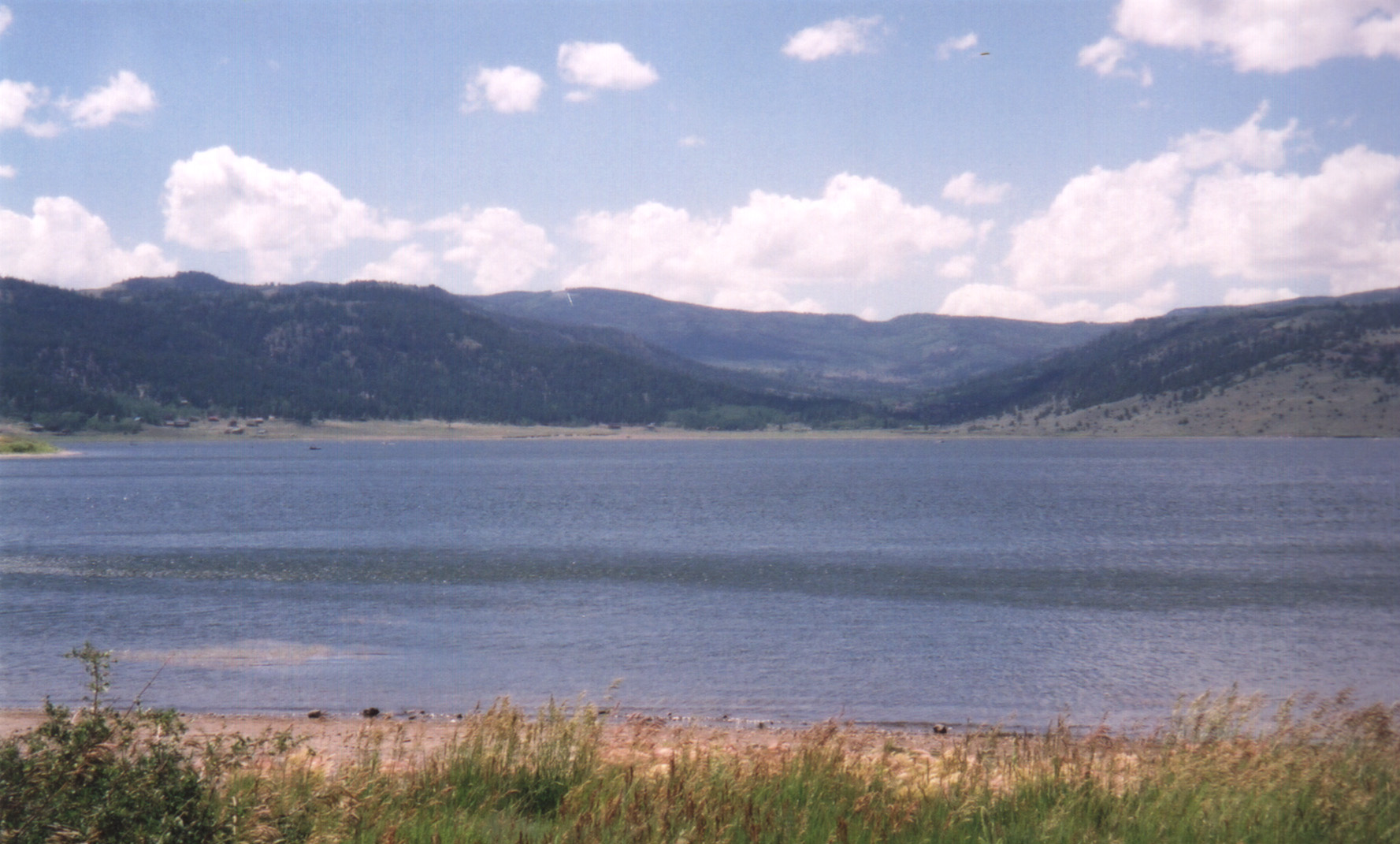
English: Looking northwest, the clear blue waters of Panguitch Lake are visible under a pleasantly cloudy sky. |
| Source | National Scenic Byways Online |
| Author | A. E. Crane |
| Camera location | | View this and other nearby images on: OpenStreetMap |
|---|
Licensing
| This image is a work of a United States Department of Transportation employee, taken or made as part of that person's official duties. As a work of the U.S. federal government, the image is in the public domain. |
File history
Click on a date/time to view the file as it appeared at that time.
| Date/Time | Thumbnail | Dimensions | User | Comment | |
|---|---|---|---|---|---|
| current | 21:28, 17 July 2009 | | 1,777 × 1,071 (419 KB) | DeFaultRyan | {{Information |Description={{en|1=Looking northwest, the clear blue waters of Panguitch Lake are visible under a pleasantly cloudy sky.}} |Source=[http://library.byways.org/assets/29911 National Scenic Byways Online] |Author=A. E. C |
File usage
The following pages on the English Wikipedia use this file (pages on other projects are not listed):
Global file usage
The following other wikis use this file:
- Usage on www.wikidata.org