
File:Offa Kent map.gif
No higher resolution available.
Offa_Kent_map.gif (552 × 390 pixels, file size: 69 KB, MIME type: image/gif)
| This is a file from the Wikimedia Commons. Information from its description page there is shown below. Commons is a freely licensed media file repository. You can help. |
| Description |
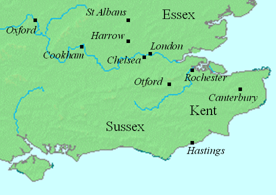
English: This map shows locations in southeastern England relevant to the article on Offa of Mercia.
This file was created using DMIS. On that site it is stated that "We do not claim copyright on the images, so you can use them for Wikipedia." |
||
| Date | Uploaded to the English language Wikipedia in January 2008 (log) | ||
| Source | en:Image:Offa Kent map.gif | ||
| Author | Mike Christie (talk) | ||
| Permission (Reusing this file) |
|
File history
Click on a date/time to view the file as it appeared at that time.
| Date/Time | Thumbnail | Dimensions | User | Comment | |
|---|---|---|---|---|---|
| current | 22:19, 12 August 2008 | | 552 × 390 (69 KB) | Elinnea | {{Information |Description=This map shows locations in southeastern England relevant to the article on Offa of Mercia. This file was created using [http://www.demis.nl/home/pages/home.htm DMIS]. On that site it is [http://support.demis.nl/forums/thr |
File usage
The following pages on the English Wikipedia use this file (pages on other projects are not listed):
Global file usage
The following other wikis use this file:
- Usage on arz.wikipedia.org
- Usage on azb.wikipedia.org
- Usage on ca.wikipedia.org
- Usage on el.wikipedia.org
- Usage on fa.wikipedia.org
- Usage on id.wikipedia.org
- Usage on ja.wikipedia.org
- Usage on nl.wikipedia.org
- Usage on sv.wikipedia.org