
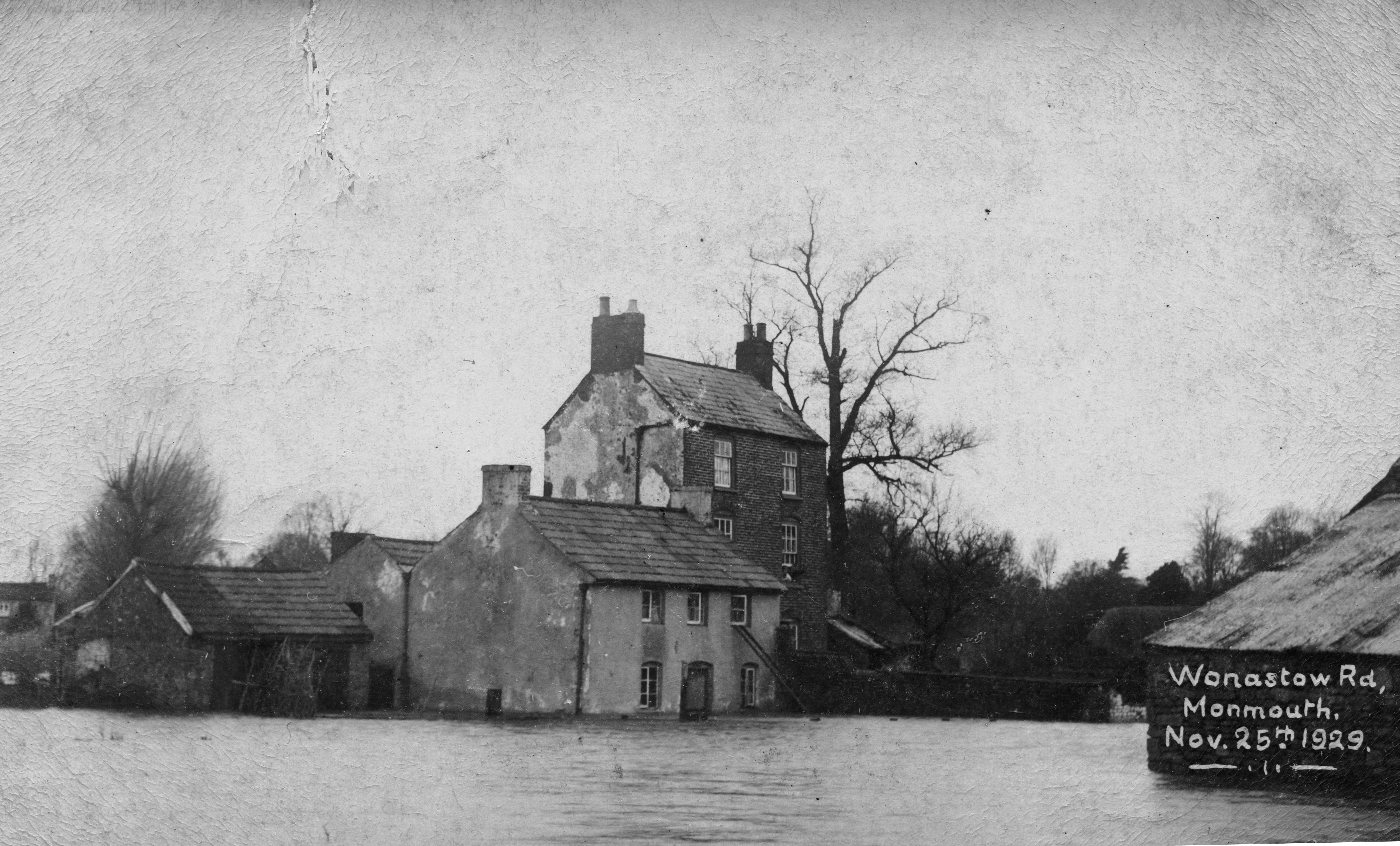
File:Monmouth Floods Wonastow Road 1929.jpg
Size of this preview: 800 × 483 pixels. Other resolutions: 320 × 193 pixels | 640 × 387 pixels | 1,024 × 619 pixels | 1,280 × 773 pixels | 2,560 × 1,547 pixels | 4,184 × 2,528 pixels.
Original file (4,184 × 2,528 pixels, file size: 2.25 MB, MIME type: image/jpeg)
| This is a file from the Wikimedia Commons. Information from its description page there is shown below. Commons is a freely licensed media file repository. You can help. |
Summary
| Description | |
| Date | |
| Source | Family photo |
| Author | Anonymous |
| Camera location | | View this and other nearby images on: OpenStreetMap |
|---|
Licensing
The heirs of this work's copyright holder (usually the creator) have released it into the public domain. This applies worldwide.
In some countries this may not be legally possible; if so: |
File history
Click on a date/time to view the file as it appeared at that time.
| Date/Time | Thumbnail | Dimensions | User | Comment | |
|---|---|---|---|---|---|
| current | 16:34, 5 February 2012 | | 4,184 × 2,528 (2.25 MB) | Victuallers | rotate, trim, repair |
| 20:16, 1 February 2012 |  | 4,467 × 2,643 (2.33 MB) | Antarchie |
File usage
The following pages on the English Wikipedia use this file (pages on other projects are not listed):
Global file usage
The following other wikis use this file:
- Usage on fr.wikipedia.org
- Usage on id.wikipedia.org
- Usage on ja.wikipedia.org