
File:Les environs de l'Orient et du Port-Louis par Georges-Louis Le Rouge.jpeg
Size of this preview: 800 × 427 pixels. Other resolutions: 320 × 171 pixels | 640 × 342 pixels | 1,024 × 547 pixels | 1,280 × 683 pixels | 2,669 × 1,425 pixels.
Original file (2,669 × 1,425 pixels, file size: 1.14 MB, MIME type: image/jpeg)
| This is a file from the Wikimedia Commons. Information from its description page there is shown below. Commons is a freely licensed media file repository. You can help. |
Summary
| Description |
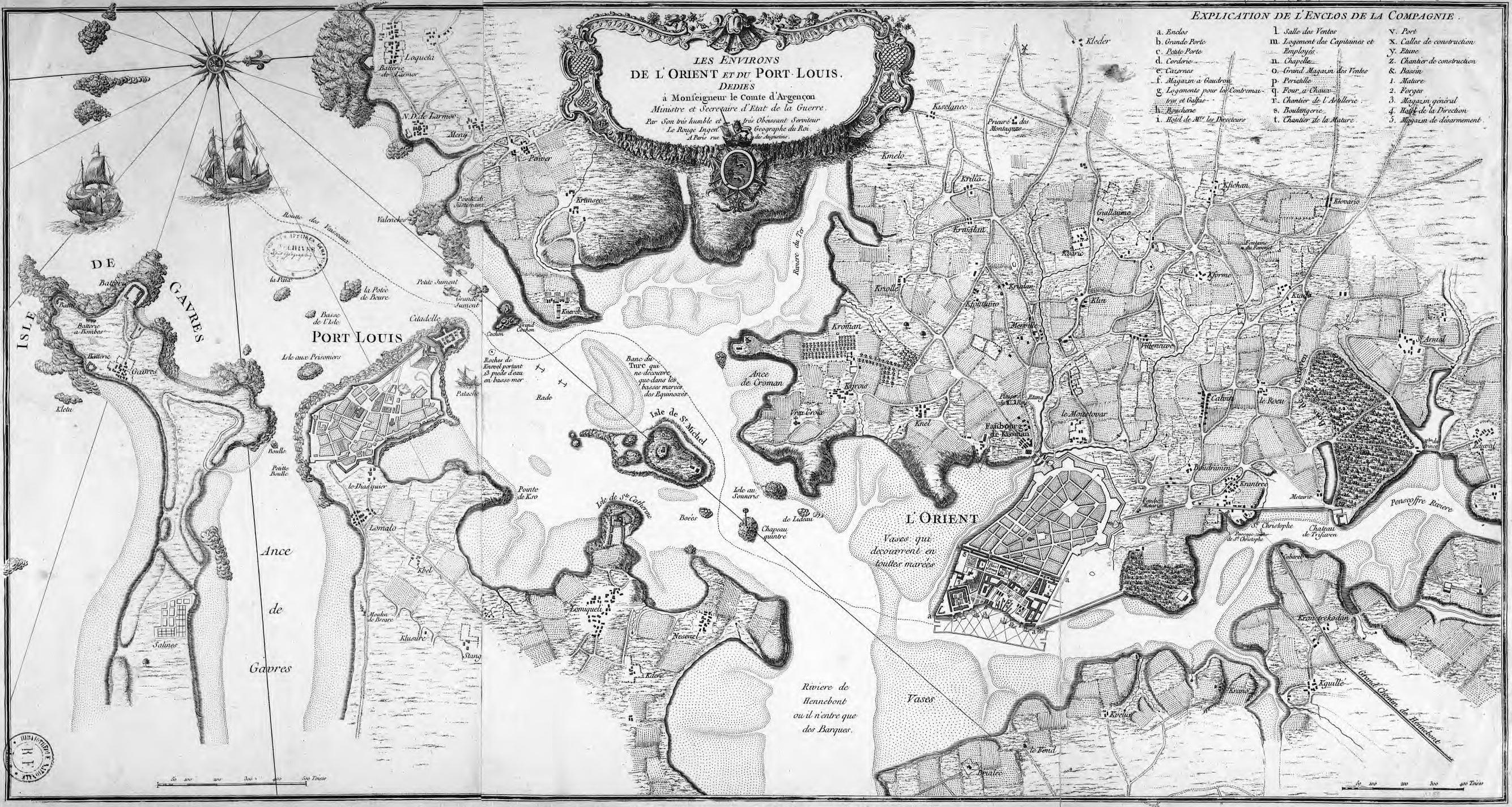
Français : Carte de Lorient et de sa rade réalisée en 1750 par Georges-Louis Le Rouge pour le Ministre et Secrétaire d’État de la Guerre |
| Date | |
| Source | Bibliothèque nationale de France |
| Author | Georges-Louis Le Rouge (1712-178.) |
Licensing
|
This work is in the public domain in its country of origin and other countries and areas where the copyright term is the author's life plus 100 years or fewer. | |
| This file has been identified as being free of known restrictions under copyright law, including all related and neighboring rights. | |
File history
Click on a date/time to view the file as it appeared at that time.
| Date/Time | Thumbnail | Dimensions | User | Comment | |
|---|---|---|---|---|---|
| current | 17:07, 4 September 2011 | | 2,669 × 1,425 (1.14 MB) | XIIIfromTOKYO | {{Information |Description ={{fr|1=Carte de Lorient et de sa rade réalisée en 1750 par Georges-Louis Le Rouge pour le Ministre et Secrétaire d’État de la Guerre}} |Source =Bibliothèque nationale de France |Author =Georges-Lou |
File usage
The following pages on the English Wikipedia use this file (pages on other projects are not listed):
Global file usage
The following other wikis use this file:
- Usage on fr.wikipedia.org
- Usage on ja.wikipedia.org