
File:Lake Puketirini and Cobham Cres 1959.jpg

Size of this preview: 800 × 504 pixels. Other resolutions: 320 × 202 pixels | 640 × 404 pixels | 1,024 × 646 pixels | 1,532 × 966 pixels.
Original file (1,532 × 966 pixels, file size: 492 KB, MIME type: image/jpeg)
| This is a file from the Wikimedia Commons. Information from its description page there is shown below. Commons is a freely licensed media file repository. You can help. |
Summary
| Description |
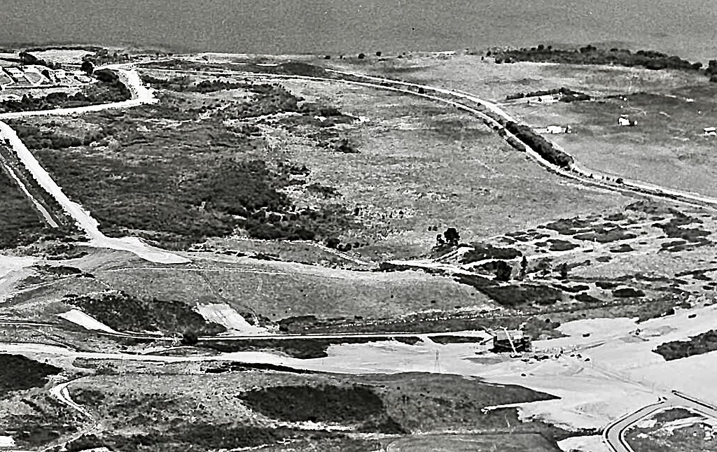
English: Site of Lake Puketirini (centre), with Cobham Cres (bottom right) being completed in 1959. Weaver's Mine was dug over the next 30 years and filled with the lake by 2005. |
| Date | |
| Source | https://natlib.govt.nz/records/32240649 |
| Author | Whites Aviation Ltd |
| Camera location | | View this and other nearby images on: OpenStreetMap |
|---|
Licensing
This file is licensed under the Creative Commons Attribution-Share Alike 4.0 International license.
- You are free:
- to share – to copy, distribute and transmit the work
- to remix – to adapt the work
- Under the following conditions:
- attribution – You must give appropriate credit, provide a link to the license, and indicate if changes were made. You may do so in any reasonable manner, but not in any way that suggests the licensor endorses you or your use.
- share alike – If you remix, transform, or build upon the material, you must distribute your contributions under the same or compatible license as the original.
File history
Click on a date/time to view the file as it appeared at that time.
| Date/Time | Thumbnail | Dimensions | User | Comment | |
|---|---|---|---|---|---|
| current | 08:08, 7 July 2022 | | 1,532 × 966 (492 KB) | Johnragla | Uploaded a work by Whites Aviation Ltd from https://natlib.govt.nz/records/32240649 with UploadWizard |
File usage
The following pages on the English Wikipedia use this file (pages on other projects are not listed):