
File:Kilburn PO 013619 2a5bd0b5.jpg
No higher resolution available.
Kilburn_PO_013619_2a5bd0b5.jpg (640 × 427 pixels, file size: 69 KB, MIME type: image/jpeg)
| This is a file from the Wikimedia Commons. Information from its description page there is shown below. Commons is a freely licensed media file repository. You can help. |
| Camera location | | View this and other nearby images on: OpenStreetMap |
|---|
| Object location | | View this and other nearby images on: OpenStreetMap |
|---|
_region:GB-ENG_heading:225.00&language=en)
| Description |
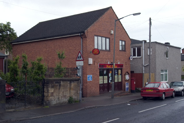
Kilburn Post Office in Derbyshire OSGB36: SK 380 457 [100m precision] WGS84: 53:0.4740N 1:26.1077W Derbyshire |
| Date | 2006-02-09T13:31:26+00:00 |
| Source | From geograph.org.uk |
| Author | Rob Bradford |
| Permission (Reusing this file) |
Creative Commons Attribution Share-alike license 2.0 |

|
This image was taken from the Geograph project collection. See this photograph's page on the Geograph website for the photographer's contact details. The copyright on this image is owned by Rob Bradford and is licensed for reuse under the Creative Commons Attribution-ShareAlike 2.0 license.
|
This file is licensed under the Creative Commons Attribution-Share Alike 2.0 Generic license.
Attribution: Rob Bradford
- You are free:
- to share – to copy, distribute and transmit the work
- to remix – to adapt the work
- Under the following conditions:
- attribution – You must give appropriate credit, provide a link to the license, and indicate if changes were made. You may do so in any reasonable manner, but not in any way that suggests the licensor endorses you or your use.
- share alike – If you remix, transform, or build upon the material, you must distribute your contributions under the same or compatible license as the original.
File history
Click on a date/time to view the file as it appeared at that time.
| Date/Time | Thumbnail | Dimensions | User | Comment | |
|---|---|---|---|---|---|
| current | 10:47, 30 April 2008 | | 640 × 427 (69 KB) | Victuallers | {{Information |Description=Kilburn Post Office in Derbyshire OSGB36: SK 380 457 [100m precision] WGS84: 53:0.4740N 1:26.1077W Derbyshire |Source=From [http://www.geograph.org.uk/photo/13619 geograph.org.uk] |Date=2006-02-09T13:31:26+00:0 |
File usage
The following pages on the English Wikipedia use this file (pages on other projects are not listed):
Global file usage
The following other wikis use this file:
- Usage on ceb.wikipedia.org
- Usage on cy.wikipedia.org
- Usage on es.wikipedia.org
- Usage on fa.wikipedia.org
- Usage on fr.wikipedia.org
- Usage on it.wikipedia.org
- Usage on pl.wikipedia.org
- Usage on www.wikidata.org