
File:Karte Schmallenberg v1.jpg
Size of this preview: 647 × 599 pixels. Other resolutions: 259 × 240 pixels | 518 × 480 pixels | 829 × 768 pixels | 1,105 × 1,024 pixels | 2,211 × 2,048 pixels | 3,098 × 2,870 pixels.
Original file (3,098 × 2,870 pixels, file size: 3.62 MB, MIME type: image/jpeg)
| This is a file from the Wikimedia Commons. Information from its description page there is shown below. Commons is a freely licensed media file repository. You can help. |
Summary
| Description |
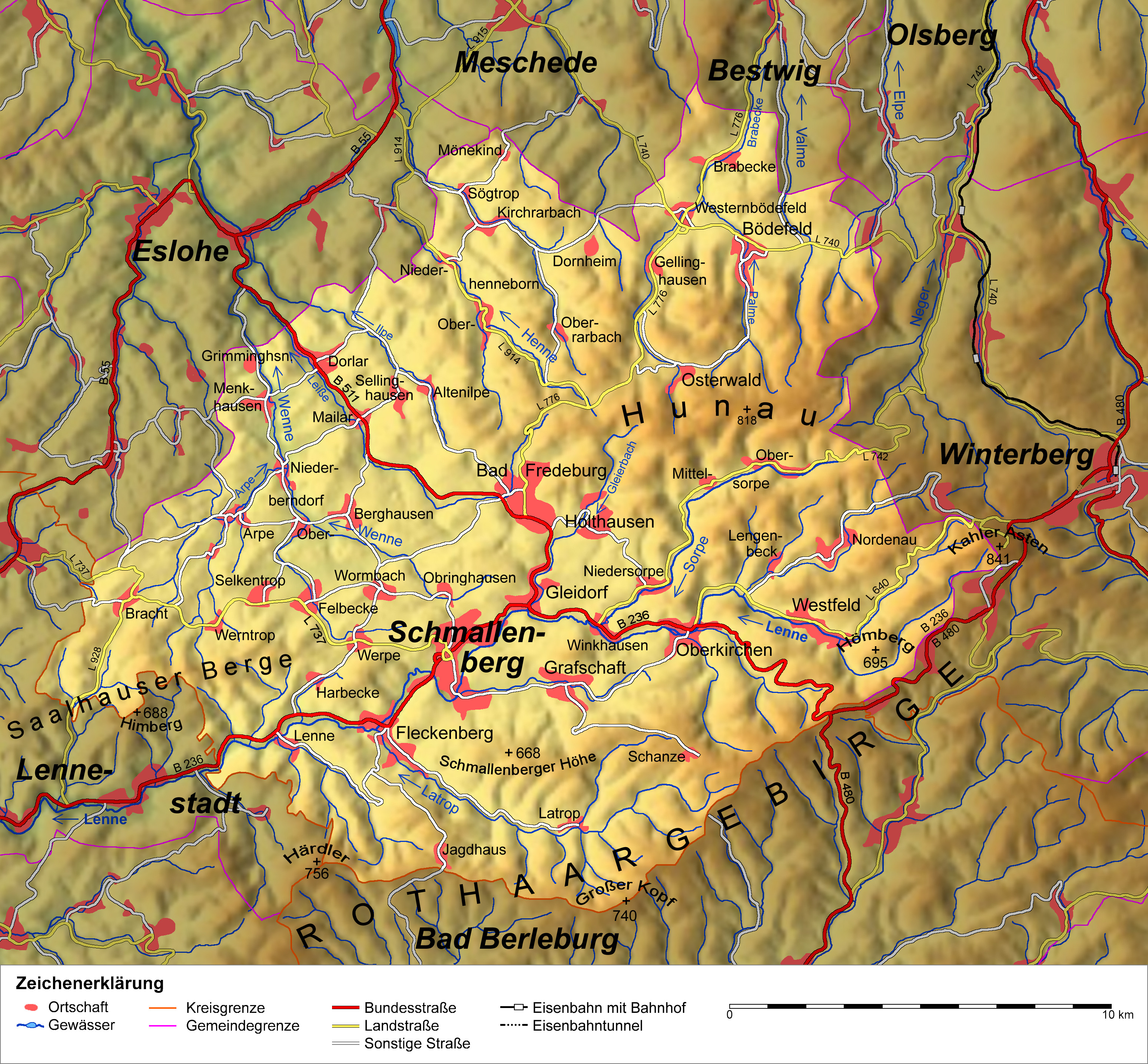
Deutsch: Topografische Karte von Schmallenberg / Stadtgebiet hervorgehoben |
| Date | |
| Source | Relief www.maps-for-free.com, Sonstige Informationen nach TK200 |
| Author | SteveK |
Licensing
I, the copyright holder of this work, hereby publish it under the following licenses:

|
Permission is granted to copy, distribute and/or modify this document under the terms of the GNU Free Documentation License, Version 1.2 or any later version published by the Free Software Foundation; with no Invariant Sections, no Front-Cover Texts, and no Back-Cover Texts. A copy of the license is included in the section entitled GNU Free Documentation License. |
This file is licensed under the Creative Commons Attribution-Share Alike 3.0 Unported, 2.5 Generic, 2.0 Generic and 1.0 Generic license.
- You are free:
- to share – to copy, distribute and transmit the work
- to remix – to adapt the work
- Under the following conditions:
- attribution – You must give appropriate credit, provide a link to the license, and indicate if changes were made. You may do so in any reasonable manner, but not in any way that suggests the licensor endorses you or your use.
- share alike – If you remix, transform, or build upon the material, you must distribute your contributions under the same or compatible license as the original.
You may select the license of your choice.
File history
Click on a date/time to view the file as it appeared at that time.
| Date/Time | Thumbnail | Dimensions | User | Comment | |
|---|---|---|---|---|---|
| current | 18:36, 8 November 2011 | | 3,098 × 2,870 (3.62 MB) | SteveK | Korrektur Legende |
| 19:35, 24 April 2008 |  | 3,098 × 2,870 (3.63 MB) | SteveK | ||
| 20:38, 23 April 2008 |  | 3,098 × 2,870 (3.64 MB) | SteveK | ||
| 20:24, 23 April 2008 |  | 3,098 × 2,870 (3.65 MB) | SteveK | ||
| 20:34, 21 April 2008 |  | 3,098 × 2,870 (3.66 MB) | SteveK | ||
| 19:34, 20 April 2008 |  | 3,098 × 2,828 (3.56 MB) | SteveK | ||
| 18:44, 19 April 2008 |  | 3,098 × 2,828 (3.55 MB) | SteveK | {{Information |Description= Topografische Karte von Schmallenberg / Stadtgebiet hervorgehoben |Source=eigene Arbeit |Date=19. April 2008 |Author= SteveK |Permission= |other_versions= }} Category:Schmallenberg |
File usage
The following pages on the English Wikipedia use this file (pages on other projects are not listed):
Global file usage
The following other wikis use this file:
- Usage on azb.wikipedia.org
- Usage on ca.wikipedia.org
- Usage on de.wikipedia.org
- Usage on fr.wikipedia.org
- Usage on ja.wikipedia.org
- Usage on lb.wikipedia.org
- Usage on nl.wikipedia.org
- Usage on uk.wikipedia.org