
File:Kamarupa 7th-8th Century AD.jpg
Size of this preview: 800 × 600 pixels. Other resolutions: 320 × 240 pixels | 640 × 480 pixels | 960 × 720 pixels.
Original file (960 × 720 pixels, file size: 485 KB, MIME type: image/jpeg)
| This is a file from the Wikimedia Commons. Information from its description page there is shown below. Commons is a freely licensed media file repository. You can help. |

Summary
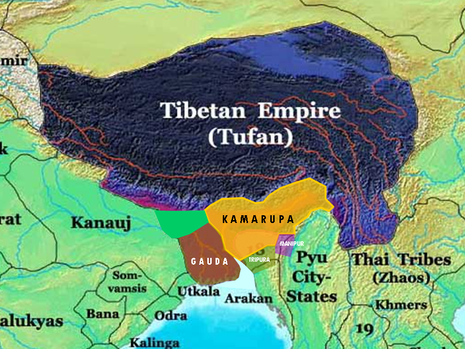
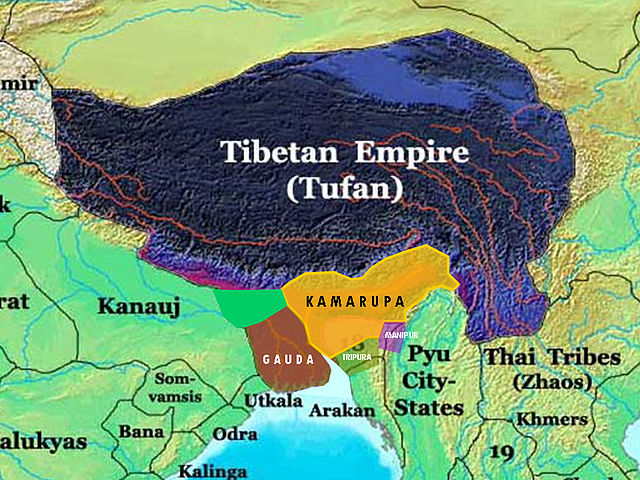
| Description | This is the 7th and 8th century extent of Kamarupa kingdom in Assam. The map is created using historical data from reliable books and on the basis of archaeological findings in this region. |
| Source | Own work |
| Author | Porikolpok Oxom |
Licensing
I, the copyright holder of this work, hereby publish it under the following license:
This file is licensed under the Creative Commons Attribution-Share Alike 3.0 Unported license.
- You are free:
- to share – to copy, distribute and transmit the work
- to remix – to adapt the work
- Under the following conditions:
- attribution – You must give appropriate credit, provide a link to the license, and indicate if changes were made. You may do so in any reasonable manner, but not in any way that suggests the licensor endorses you or your use.
- share alike – If you remix, transform, or build upon the material, you must distribute your contributions under the same or compatible license as the original.
File history
Click on a date/time to view the file as it appeared at that time.
| Date/Time | Thumbnail | Dimensions | User | Comment | |
|---|---|---|---|---|---|
| current | 12:32, 16 March 2008 | | 960 × 720 (485 KB) | Porikolpok Oxom~commonswiki | This is the 7th and 8th century extent of Kamarupa kingdom in Assam. The map is created using historical data from reliable books and on the basis of archaeological findings in this region. Revised with mouth of brahmaputra and ganges. |
| 11:35, 14 March 2008 |  | 960 × 720 (492 KB) | Porikolpok Oxom~commonswiki | {{Information |Description= This is the 7th and 8th century extent of Kamarupa kingdom in Assam. The map is created using historical data from reliable books and on the basis of archaeological findings in this region. |Source=self-made |Date= |Author= |
File usage
The following pages on the English Wikipedia use this file (pages on other projects are not listed):