
File:Indianapolis Military Park in the snow.jpg
Size of this preview: 800 × 450 pixels. Other resolutions: 320 × 180 pixels | 640 × 360 pixels | 1,024 × 576 pixels | 1,280 × 720 pixels | 2,816 × 1,584 pixels.
Original file (2,816 × 1,584 pixels, file size: 2.68 MB, MIME type: image/jpeg)
| This is a file from the Wikimedia Commons. Information from its description page there is shown below. Commons is a freely licensed media file repository. You can help. |
|
This is an image of a place or building that is listed on the National Register of Historic Places in the United States of America. Its reference number is 69000002. |
| Camera location | | View this and other nearby images on: OpenStreetMap |
|---|
| Description |
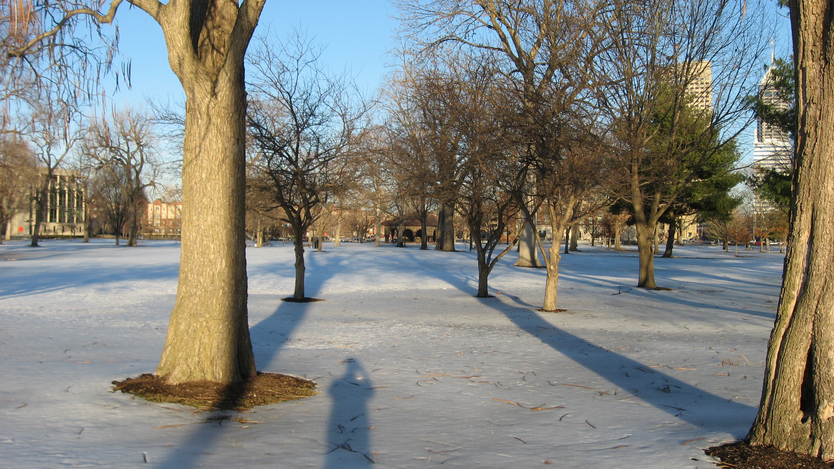
English: Snow in the late afternoon on Military Park, located just west of downtown Indianapolis, Indiana, United States, seen from its western side. Formerly a military encampment known as Camp Sullivan during the American Civil War, the park is listed as a historic district on the National Register of Historic Places. |
||
| Date | Taken on 13 February 2011 | ||
| Source | Own work | ||
| Author | Nyttend | ||
| Permission (Reusing this file) |
|
File history
Click on a date/time to view the file as it appeared at that time.
| Date/Time | Thumbnail | Dimensions | User | Comment | |
|---|---|---|---|---|---|
| current | 06:14, 18 February 2011 | | 2,816 × 1,584 (2.68 MB) | Nyttend | {{Location|39|46|12|N|86|10|12|W}} {{Information |Description={{en|Snow in the late afternoon on {{w|Military Park (Indianapolis)|Military Park}}, located just west of downtown {{w|Indianapolis}}, {{w|Indiana}}, {{w|United States}}, seen from its western |
File usage
The following pages on the English Wikipedia use this file (pages on other projects are not listed):
Global file usage
The following other wikis use this file:
- Usage on ceb.wikipedia.org
- Usage on ja.wikipedia.org
- Usage on www.wikidata.org