
File:India in 1700 Joppen.jpg
Size of this preview: 415 × 600 pixels. Other resolutions: 166 × 240 pixels | 332 × 480 pixels | 531 × 768 pixels | 1,259 × 1,820 pixels.
Original file (1,259 × 1,820 pixels, file size: 298 KB, MIME type: image/jpeg)
| This is a file from the Wikimedia Commons. Information from its description page there is shown below. Commons is a freely licensed media file repository. You can help. |
Summary
| Description |
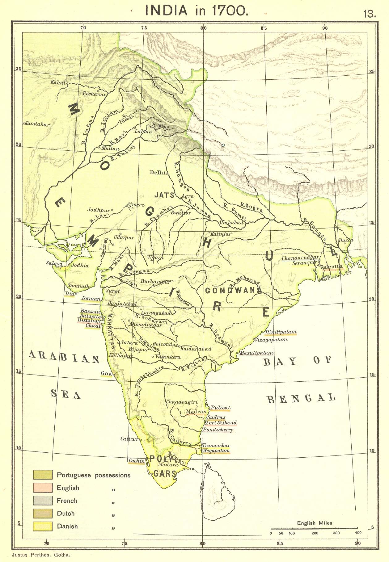
English: Map of India in 1700 |
| Date | |
| Source | "Historical Atlas of India," by Charles Joppen (London: Longmans, Green & Co., 1907) |
| Author | Charles Joppen |
| Other versions | Derivative works of this file: Mughals India 18th centur-cs.png |
Licensing
This media file is in the public domain in the United States. This applies to U.S. works where the copyright has expired, often because its first publication occurred prior to January 1, 1929, and if not then due to lack of notice or renewal. See this page for further explanation.
|
 | |
 |
This image might not be in the public domain outside of the United States; this especially applies in the countries and areas that do not apply the rule of the shorter term for US works, such as Canada, Mainland China (not Hong Kong or Macao), Germany, Mexico, and Switzerland. The creator and year of publication are essential information and must be provided. See Wikipedia:Public domain and Wikipedia:Copyrights for more details.
|
File history
Click on a date/time to view the file as it appeared at that time.
| Date/Time | Thumbnail | Dimensions | User | Comment | |
|---|---|---|---|---|---|
| current | 23:48, 6 March 2010 | | 1,259 × 1,820 (298 KB) | Abecedare | == Summary == {{Information |Description={{en|1=Map of India in 1700}} |Source= "[http://www.columbia.edu/itc/mealac/pritchett/00maplinks/mughal/joppenset/joppenset.html Historical Atlas of India]," by Charles Joppen (London: Longmans, Green & Co., 1907) |
File usage
The following pages on the English Wikipedia use this file (pages on other projects are not listed):
Global file usage
The following other wikis use this file:
- Usage on ar.wikipedia.org
- Usage on bn.wikipedia.org
- Usage on cs.wikipedia.org
- Usage on es.wikipedia.org
- Usage on fr.wikipedia.org
- Usage on kn.wikipedia.org
- Usage on ko.wikipedia.org
- Usage on pnb.wikipedia.org
- Usage on ru.wikipedia.org
- Usage on ta.wikipedia.org
- Usage on te.wikipedia.org
- Usage on ur.wikipedia.org
- Usage on uz.wikipedia.org