
File:India Punjab location map.svg

Original file (SVG file, nominally 979 × 1,086 pixels, file size: 311 KB)
| This is a file from the Wikimedia Commons. Information from its description page there is shown below. Commons is a freely licensed media file repository. You can help. |
Summary
| Description |
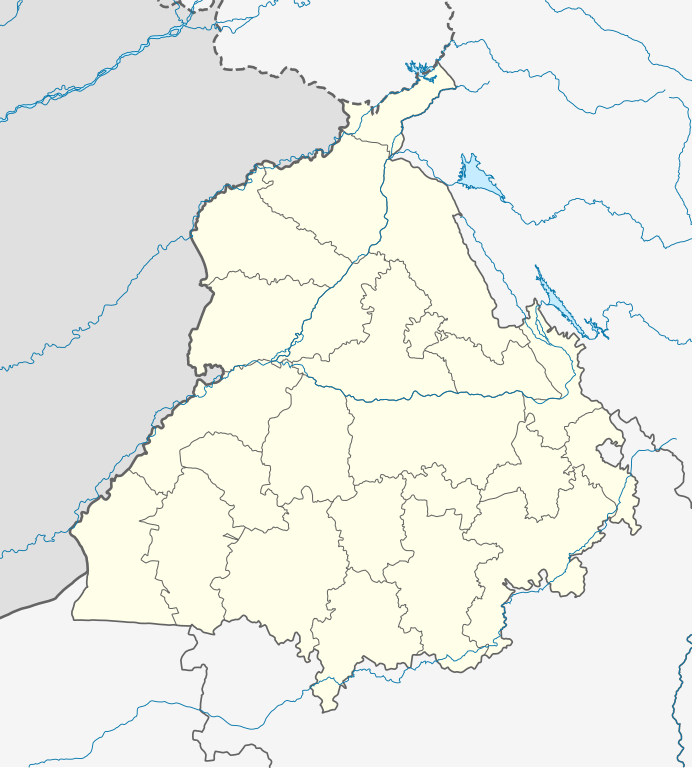
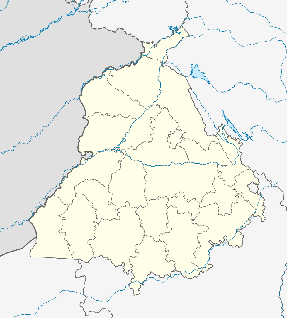
Quadratische Plattkarte, N-S-Streckung 117 %. Geographische Begrenzung der Karte:
Equirectangular projection, N/S stretching 117 %. Geographic limits of the map:
|
|
| Date | ||
| Source |
Own work, using
|
|
| Author | NordNordWest | |
| Permission (Reusing this file) |
This file is licensed under the Creative Commons Attribution-Share Alike 3.0 Germany license.
 This file is licensed under the Creative Commons Attribution-Share Alike 3.0 Germany license.
|


|
This map has been made or improved in the German Kartenwerkstatt (Map Lab). You can propose maps to improve as well.
|
File history
Click on a date/time to view the file as it appeared at that time.
| Date/Time | Thumbnail | Dimensions | User | Comment | |
|---|---|---|---|---|---|
| current | 04:19, 19 August 2022 | | 979 × 1,086 (311 KB) | C1MM | Fixed Ludhiana district |
| 04:03, 19 August 2022 |  | 979 × 1,086 (312 KB) | C1MM | Resized to original size | |
| 03:57, 19 August 2022 |  | 951 × 898 (324 KB) | C1MM | Added Malerkotla district, fixed rivers and disputed boundaries for Jammu and Kashmir | |
| 03:23, 15 January 2021 |  | 1,049 × 1,161 (114 KB) | C1MM | Added Tan Taran district | |
| 18:11, 24 October 2020 |  | 1,049 × 1,161 (110 KB) | C1MM | Updated districts | |
| 17:41, 4 May 2012 |  | 1,049 × 1,161 (107 KB) | NordNordWest | upd | |
| 20:24, 19 May 2010 |  | 1,049 × 1,161 (104 KB) | NordNordWest | c | |
| 20:11, 19 May 2010 |  | 1,049 × 1,161 (105 KB) | NordNordWest | =={{int:filedesc}}== {{Information |Description= {{de|Positionskarte von Punjab, Indien}} Quadratische Plattkarte, N-S-Streckung 117 %. Geographische Begrenzung der Karte: * N: 32.8° N * S: 29.3° N * W: 73.5° O * |
File usage
More than 100 pages use this file. The following list shows the first 100 pages that use this file only. A full list is available.
- Abdul Hamid (soldier)
- Abohar
- Adampur
- Ahmedgarh
- Ajnala, India
- Akalgarh, Ludhiana
- Alawalpur
- Amloh
- Amritsar
- Amritsar Cantonment
- Anandpur Sahib
- Badhni Kalan
- Bagha Purana
- Balachaur
- Banaur
- Bariwala
- Barnala
- Bassi Kalan
- Bassi Pathana
- Batala
- Bathinda
- Beas City
- Begowal
- Bhabat
- Bhadaur
- Bhankharpur
- Bharoli Kalan
- Bhawanigarh
- Bhikhi, India
- Bhikhiwind
- Bhisiana
- Bhogpur
- Bholath
- Bhucho Mandi
- Budha Theh
- Budhlada
- Chabbewal
- Chamkaur Sahib
- Chohal
- Chuhar Chak
- Dadhi
- Daulatpur, Pathankot
- Dera Baba Nanak
- Dera Bassi
- Dhanaula
- Dharamkot, Moga
- Dhilwan
- Dina Nagar
- Dirba
- Doraha, Ludhiana
- Dullar
- Faridkot, India
- Fatehgarh Sahib
- Fazilka
- Firozpur
- Firozpur Cantonment
- Goindval
- Gurdaspur
- Gurdwara Sri Tarn Taran Sahib
- Hakim Pur, Doaba Region
- Hariana
- Hoshiarpur
- Jagraon
- Jalandhar
- Jalandhar Cantonment
- Jallianwala Bagh
- Kaind
- Kairon
- Kalakh
- Kalanaur, Gurdaspur
- Kapurthala
- Khaira, Ludhiana
- Khemkaran
- Kotkapura
- Kuka, Punjab
- Longowal
- Ludhiana
- Malerkotla
- Mandi Mullanpur
- Mansa, Punjab
- Mohali
- Moodkee
- Morinda, Punjab
- Nabha
- Nakodar
- Nangal
- Nawanshahr
- Operation Blue Star
- Panjkosi
- Pathankot
- Patiala
- Phagwara
- Phillaur
- Qadian
- Qila Raipur
- Rauni, Ludhiana
- Rupnagar
- Sangrur
- Sobraon
- Sri Guru Ram Das Ji International Airport
View more links to this file.
Global file usage
The following other wikis use this file:
- Usage on ar.wikipedia.org
- Usage on as.wikipedia.org
- Usage on azb.wikipedia.org
- علیپور-۲
- علیپور-۱
- علی چاک
- علادینپور
- علیخل، جالاندر
- فول ماکاوری
- فیالی (هیندوستان)
- فاروالا, جالاندهار
- فارالا
- فانقوتا
- فامبرا
- فالپوتا
- ساروپوال
- ساروپوال, سولطانپور لودهی
- سارتی, قورداسپور
- سارنانا
- سارینه, لودهیانا
- سارینه, جالاندهار
- سارهالی
- سارهالی, جالاندهار
- سارهال کازیان
- سارهال موندی
- سارقوندی
- سارانقوال
- سارانقرا
- سارای خاس
- سارای خام
- سارای جاتان
- ساپرور
- مدا, پنجاب
- مازاری, اسبیاس ناقار
- مازارا ناو آباد
- مازارا خورد
- مازارا کالان
- سانورا
- ماوای, جالاندهار
- ماولی, فاقوارا
- ماوجیا
- ماو, پنجاب
- ماتوی, پنجاب
- سانقرای
- سانقرا, سولطانپور لودهی
- سانقووال
- سانقوجلا
- سانقول
- سانقرا (کند)
View more global usage of this file.