
File:Epirus across Greece and Albania.svg

Size of this PNG preview of this SVG file: 330 × 420 pixels. Other resolutions: 188 × 240 pixels | 377 × 480 pixels | 603 × 768 pixels | 804 × 1,024 pixels | 1,609 × 2,048 pixels.
Original file (SVG file, nominally 330 × 420 pixels, file size: 159 KB)
| This is a file from the Wikimedia Commons. Information from its description page there is shown below. Commons is a freely licensed media file repository. You can help. |
Summary
| Description |
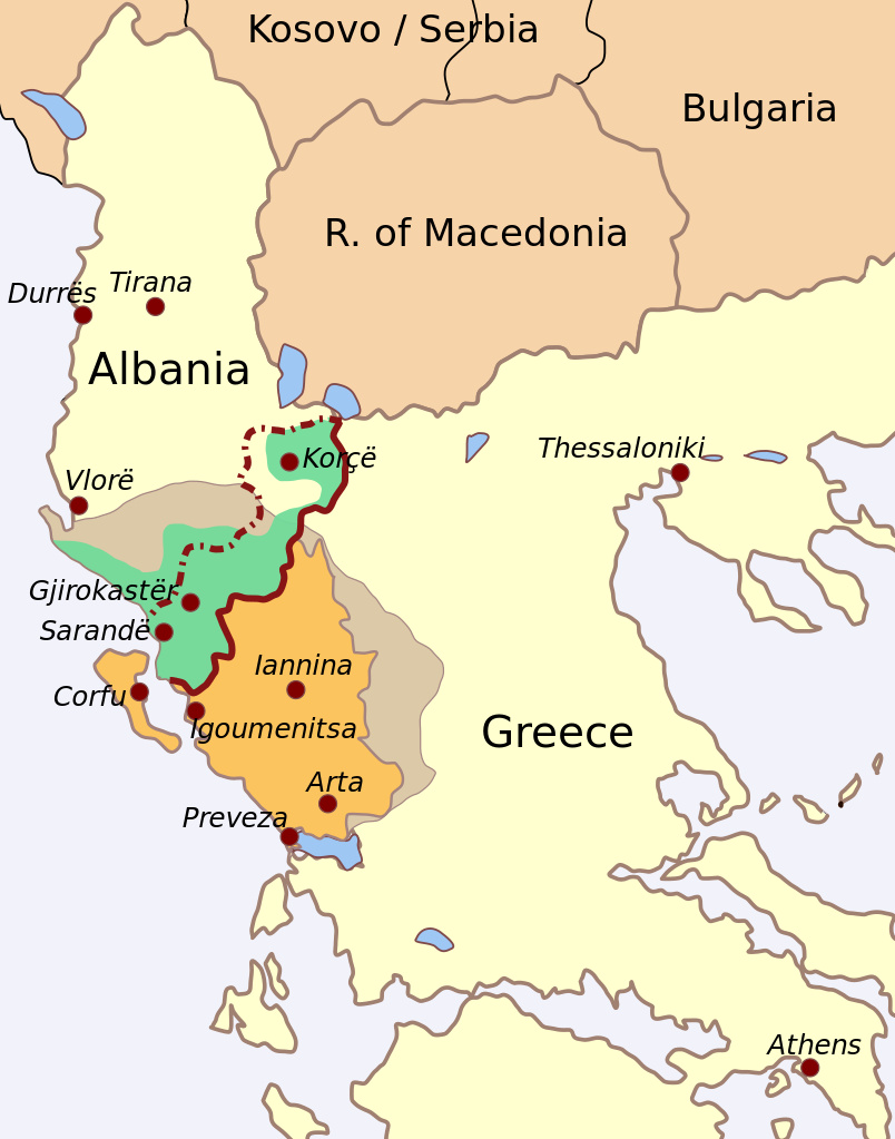
English: Draft map of the region of Epirus, stretching across modern Greece and Albania.
|
| Date | |
| Source | Own work |
| Author | Future Perfect at Sunrise |
Draft version, probably needs some fixing and tweaks.
Licensing
I, the copyright holder of this work, hereby publish it under the following licenses:
This file is licensed under the Creative Commons Attribution-Share Alike 3.0 Unported license.
- You are free:
- to share – to copy, distribute and transmit the work
- to remix – to adapt the work
- Under the following conditions:
- attribution – You must give appropriate credit, provide a link to the license, and indicate if changes were made. You may do so in any reasonable manner, but not in any way that suggests the licensor endorses you or your use.
- share alike – If you remix, transform, or build upon the material, you must distribute your contributions under the same or compatible license as the original.

|
Permission is granted to copy, distribute and/or modify this document under the terms of the GNU Free Documentation License, Version 1.2 or any later version published by the Free Software Foundation; with no Invariant Sections, no Front-Cover Texts, and no Back-Cover Texts. A copy of the license is included in the section entitled GNU Free Documentation License. |
You may select the license of your choice.
File history
Click on a date/time to view the file as it appeared at that time.
| Date/Time | Thumbnail | Dimensions | User | Comment | |
|---|---|---|---|---|---|
| current | 21:18, 15 April 2009 | | 330 × 420 (159 KB) | Yann | Reverted to version as of 17:52, 17 August 2008 |
| 21:16, 15 April 2009 |  | 330 × 420 (512 KB) | Alexikoua | Corrections in borders of Northern Epirus. (Himara, Tepelene) Corfu excluded from Epirus periphery. | |
| 21:13, 15 April 2009 |  | 330 × 420 (512 KB) | Alexikoua | Category:Epirus | |
| 17:52, 17 August 2008 |  | 330 × 420 (159 KB) | Future Perfect at Sunrise | {{Information |Description= |Source= |Date= |Author= |Permission= |other_versions= }} | |
| 15:17, 17 August 2008 |  | 330 × 420 (159 KB) | Future Perfect at Sunrise | {{Information |Description={{en|1=Draft map of the region of w:Epirus (region), stretching across modern w:Greece and w:Albania. ;Legend: *'''orange''': modern administrative territory of Greek w:Epirus (peripery) *'''grey''': app |
File usage
No pages on the English Wikipedia use this file (pages on other projects are not listed).
Global file usage
The following other wikis use this file:
- Usage on da.wikipedia.org
- Usage on de.wikipedia.org
- Usage on no.wikipedia.org
- Usage on pl.wikipedia.org
- Usage on tr.wikipedia.org