
File:ElizabethIslandsChart.png

Size of this preview: 800 × 453 pixels. Other resolutions: 320 × 181 pixels | 640 × 363 pixels | 1,024 × 580 pixels | 1,433 × 812 pixels.
Original file (1,433 × 812 pixels, file size: 196 KB, MIME type: image/png)
| This is a file from the Wikimedia Commons. Information from its description page there is shown below. Commons is a freely licensed media file repository. You can help. |
Summary
| Description |
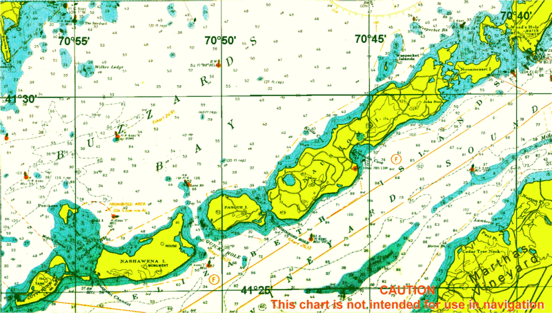
English: chart of Elizabeth Islands, Dukes County, Massachusetts, USA |
| Date | circa 2000 |
| Source | http://chartmaker.ncd.noaa.gov |
| Author | NOAA |
Licensing
This image is in the public domain because it contains materials that originally came from the U.S. National Oceanic and Atmospheric Administration, taken or made as part of an employee's official duties.
|
Original upload log
| Date/Time | Dimensions | User | Comment |
|---|---|---|---|
| 3 May 2010, 20:10:27 | 1433 × 812 (171446 bytes) | Ratzer (talk · contribs) | {{Information |Description={{en|1=chart of Elizabeth Islands, Dukes County, Massachusetts, USA}} |Source=http://chartmaker.ncd.noaa.gov |Author=NOAA |Date=2000? |Permission= |other_versions= }} [[Category:Dukes Count |
File history
Click on a date/time to view the file as it appeared at that time.
| Date/Time | Thumbnail | Dimensions | User | Comment | |
|---|---|---|---|---|---|
| current | 15:10, 8 January 2015 | | 1,433 × 812 (196 KB) | GifTagger | Bot: Converting file to superior PNG file. (Source: ElizabethIslandsChart.gif). This GIF was problematic due to non-greyscale color table. |
File usage
The following pages on the English Wikipedia use this file (pages on other projects are not listed):
- Bull Island (Dukes County, Massachusetts)
- Cedar Island (Dukes County, Massachusetts)
- Cuttyhunk Island
- Elizabeth Islands
- Gull Island (Massachusetts)
- Monohansett Island
- Nashawena Island
- Naushon Island
- Nonamesset Island
- Pasque Island
- Penikese Island
- Uncatena Island
- Veckatimest Island
- Weepecket Islands
- Template:Elizabeth Islands
Global file usage
The following other wikis use this file:
- Usage on ceb.wikipedia.org
- Usage on de.wikipedia.org
- Usage on fr.wikipedia.org
- Usage on www.wikidata.org