
File:Downtown Appalachia, Virginia.jpg
Original file (1,300 × 1,148 pixels, file size: 947 KB, MIME type: image/jpeg)
| This is a file from the Wikimedia Commons. Information from its description page there is shown below. Commons is a freely licensed media file repository. You can help. |
| Description |
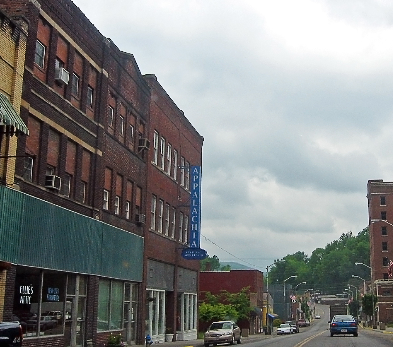
I'm going through photos from last year's trip to Appalachia, to supplement my writing up of the roadtrip tale on my blog. This is a rather poor snapshot, through the car window, of downtown Appalachia, a small town in southwestern Virginia. Since my roadtrip was to Appalachia, the region, I felt compelled to take the route to the Cumberland Gap that went through Appalachia, the town. I prefer small roads to large anyway, so I skipped the highway from Norton to Big Stone Gap, instead taking the smaller road to Appalachia, and then an even smaller road to Pennington Gap by way of Keokee. I'm still strangely pleased that there is a town called Appalachia. The region was very clearly a coal-mining area -- the only such area I saw during my trip to Appalachia (the region). Coal is important in the central and northern part of the Appalachians, and the town of Appalachia was about as far north as I got, so I saw very little coal, save in this part of Virginia. Here's a link to a map of Appalachia on MS Local Live. I hope it works. |
| Date | |
| Source | Appalachia, the town |
| Author | pfly from Pugetopolis |
| Camera location | | View this and other nearby images on: OpenStreetMap |
|---|
Licensing
- You are free:
- to share – to copy, distribute and transmit the work
- to remix – to adapt the work
- Under the following conditions:
- attribution – You must give appropriate credit, provide a link to the license, and indicate if changes were made. You may do so in any reasonable manner, but not in any way that suggests the licensor endorses you or your use.
- share alike – If you remix, transform, or build upon the material, you must distribute your contributions under the same or compatible license as the original.
| This image, originally posted to Flickr, was reviewed on December 15, 2008 by the administrator or reviewer File Upload Bot (Magnus Manske), who confirmed that it was available on Flickr under the stated license on that date. |
File history
Click on a date/time to view the file as it appeared at that time.
| Date/Time | Thumbnail | Dimensions | User | Comment | |
|---|---|---|---|---|---|
| current | 02:56, 15 December 2008 | | 1,300 × 1,148 (947 KB) | File Upload Bot (Magnus Manske) | {{Information |Description= I'm going through photos from last year's trip to Appalachia, to supplement my writing up of the roadtrip tale on [http://www.pfly.net/ my blog]. This is a rather poor snapshot, through the car window, of downtown Appalachia, |
File usage
Global file usage
The following other wikis use this file:
- Usage on ar.wikipedia.org
- Usage on azb.wikipedia.org
- Usage on ceb.wikipedia.org
- Usage on ce.wikipedia.org
- Usage on cy.wikipedia.org
- Usage on es.wikipedia.org
- Usage on fa.wikipedia.org
- Usage on ht.wikipedia.org
- Usage on it.wikipedia.org
- Usage on lld.wikipedia.org
- Usage on pl.wikipedia.org
- Usage on pt.wikipedia.org
- Usage on ru.wikipedia.org
- Usage on sh.wikipedia.org
- Usage on sr.wikipedia.org
- Usage on tt.wikipedia.org
- Usage on uk.wikipedia.org
- Usage on uz.wikipedia.org
- Usage on www.wikidata.org
- Usage on zh-min-nan.wikipedia.org