
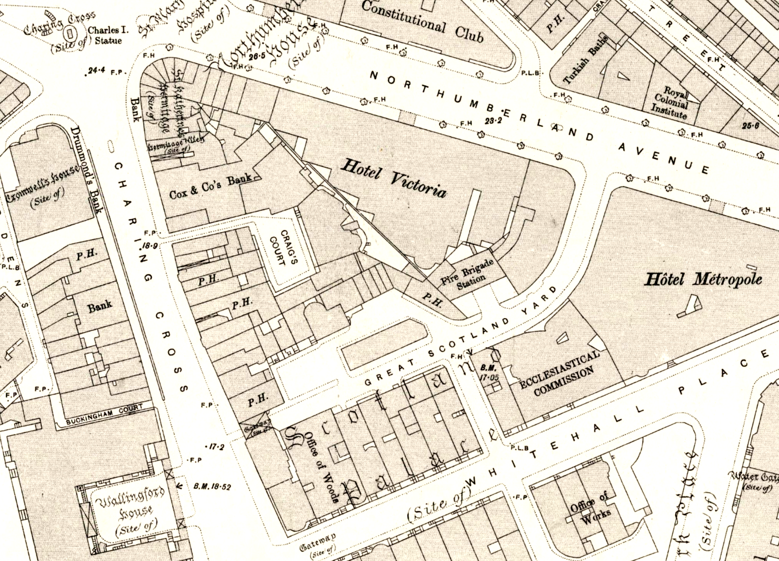
File:Craig's Court area map 1895.png
Size of this preview: 800 × 577 pixels. Other resolutions: 320 × 231 pixels | 640 × 461 pixels | 1,024 × 738 pixels | 1,280 × 922 pixels | 2,592 × 1,868 pixels.
Original file (2,592 × 1,868 pixels, file size: 6.08 MB, MIME type: image/png)
| This is a file from the Wikimedia Commons. Information from its description page there is shown below. Commons is a freely licensed media file repository. You can help. |
Summary
| Description |
English: Craig's Court area map 1895 |
| Date | |
| Source | https://maps.nls.uk/view/101201616 |
| Author | Ordnance Survey |
Licensing
This work created by the United Kingdom Government is in the public domain.
This is because it is one of the following:
HMSO has declared that the expiry of Crown Copyrights applies worldwide (ref: HMSO Email Reply)
|
 |
File history
Click on a date/time to view the file as it appeared at that time.
| Date/Time | Thumbnail | Dimensions | User | Comment | |
|---|---|---|---|---|---|
| current | 09:17, 4 November 2021 | | 2,592 × 1,868 (6.08 MB) | Philafrenzy | contrast |
| 20:28, 3 November 2021 |  | 2,592 × 1,868 (6.78 MB) | Philafrenzy | Uploaded a work by Ordnance Survey from https://maps.nls.uk/view/101201616 with UploadWizard |
File usage
The following pages on the English Wikipedia use this file (pages on other projects are not listed):