
File:CH-24 WAC 41 North.png
Size of this preview: 800 × 299 pixels. Other resolutions: 320 × 120 pixels | 640 × 239 pixels | 1,024 × 383 pixels | 1,280 × 478 pixels | 5,354 × 2,000 pixels.
Original file (5,354 × 2,000 pixels, file size: 6.02 MB, MIME type: image/png)
| This is a file from the Wikimedia Commons. Information from its description page there is shown below. Commons is a freely licensed media file repository. You can help. |
| Description |
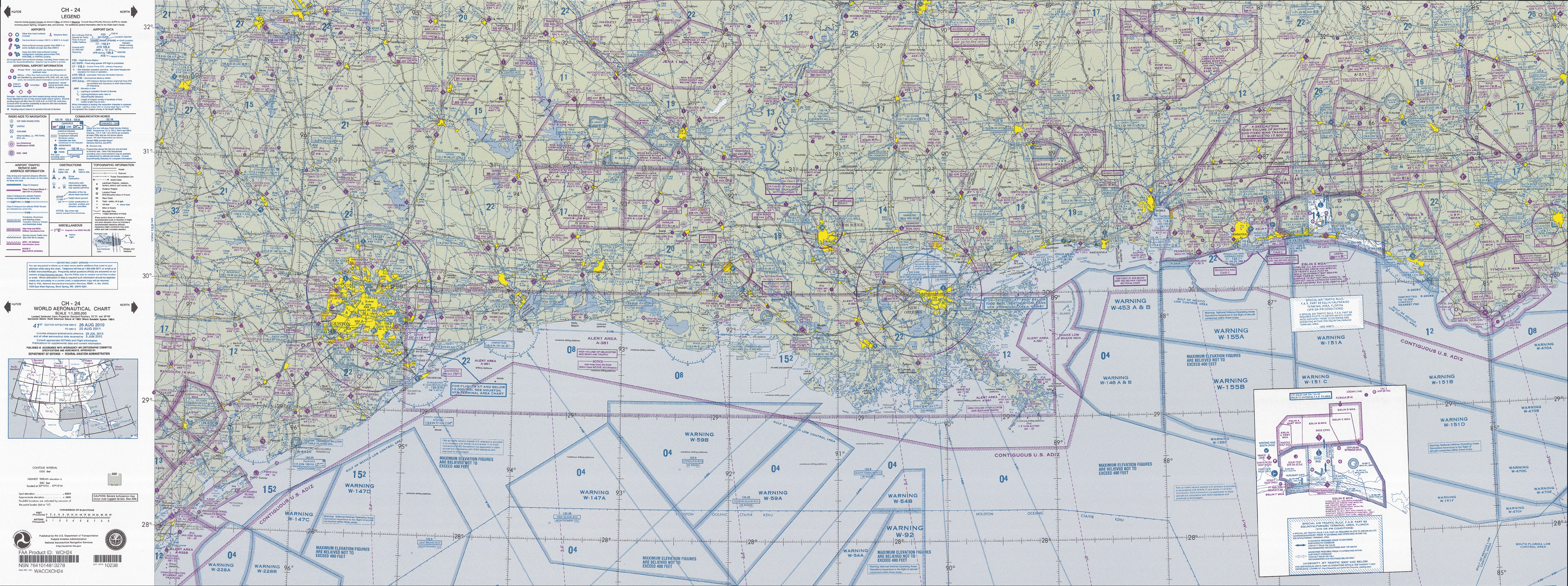
English: FAA World aeronautical chart CH 24 North, 41st edition (northern Gulf of Mexico). Note: This map is valid until 15 August 2011, for navigational purposes be sure to get the newest edition at the official FAA website |
| Date |
|
| Source | CH-24_WAC_41_North.tif in CH-23_41.zip. Note: The ZIP-File will become unavailable when the map is updated, newer editions will be available here |
| Author | US Department of Transportation, Federal Aviation Administration, National Aeronautical Navigation Services |
| Other versions |
This image or file is a work of a Federal Aviation Administration employee, taken or made as part of that person's official duties. As a work of the U.S. federal government, the image is in the public domain in the United States.
|
 |
File history
Click on a date/time to view the file as it appeared at that time.
| Date/Time | Thumbnail | Dimensions | User | Comment | |
|---|---|---|---|---|---|
| current | 10:21, 28 April 2011 | 5,354 × 2,000 (6.02 MB) | El Grafo | {{Information |Description={{en|1=FAA World aeronautical chart CH 24 North, 41st edition (northern Gulf of Mexico). <small>Note: This map is valid until {{date|2011|08|15}}, for navigational purposes be sure to get the new |
File usage
The following pages on the English Wikipedia use this file (pages on other projects are not listed):
Global file usage
The following other wikis use this file:
- Usage on es.wikipedia.org
- Usage on fa.wikipedia.org