
File:Berkshire UK location map.svg

Size of this PNG preview of this SVG file: 800 × 416 pixels. Other resolutions: 320 × 166 pixels | 640 × 333 pixels | 1,024 × 532 pixels | 1,280 × 666 pixels | 2,560 × 1,331 pixels | 1,425 × 741 pixels.
Original file (SVG file, nominally 1,425 × 741 pixels, file size: 1.51 MB)
| This is a file from the Wikimedia Commons. Information from its description page there is shown below. Commons is a freely licensed media file repository. You can help. |
| Description |
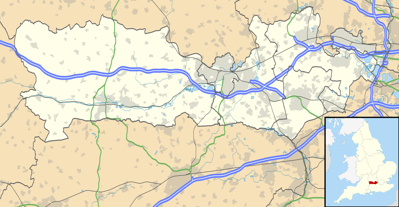
Map of Berkshire, UK with the following information shown:
Equirectangular map projection on WGS 84 datum, with N/S stretched 160% Geographic limits:
|
| Date | |
| Source |
|
| Author | Nilfanion, created using Ordnance Survey data |
| Permission (Reusing this file) |
This file is licensed under the Creative Commons Attribution-Share Alike 3.0 Unported license. Attribution: Contains Ordnance Survey data © Crown copyright and database right
|
| Other versions | File:Berkshire UK district map (blank).svg - Blank map |
.svg)
File history
Click on a date/time to view the file as it appeared at that time.
| Date/Time | Thumbnail | Dimensions | User | Comment | |
|---|---|---|---|---|---|
| current | 17:56, 26 September 2010 | | 1,425 × 741 (1.51 MB) | Nilfanion | {{Information |Description=Map of Berkshire, UK with the following information shown: *Administrative borders *Coastline, lakes and rivers *Roads and railways *Urban areas Equirectangular map projection on WGS 84 datum, with N/S stretched |
File usage
More than 100 pages use this file. The following list shows the first 100 pages that use this file only. A full list is available.
- Aldermaston
- Aldermaston Court
- Aldworth
- Arborfield
- Ascot, Berkshire
- Ashampstead
- Bagnor
- Barkham
- Basildon, Berkshire
- Bracknell
- Bradfield, Berkshire
- Bray, Berkshire
- Britwell
- Broadmoor Hospital
- Bucklebury
- Burchetts Green
- Burnham railway station
- Calcot, Berkshire
- Caversham, Reading
- Chalvey
- Chieveley
- Civil parishes in Berkshire
- Cold Ash
- Coley, Berkshire
- Colnbrook
- Combe, Berkshire
- Combe Gibbet
- Compton, Berkshire
- Crowthorne
- Datchet
- Ditton, Slough
- Donnington, Berkshire
- Donnington Castle
- Earley
- Enborne
- Eton, Berkshire
- Eton Wick
- Finchampstead
- First Battle of Newbury
- Fords Farm
- Frogmore
- Greenham
- Halfway, Berkshire
- Hampstead Norreys
- Hermitage, Berkshire
- Holybrook
- Holyport
- Horton, Berkshire
- Hungerford
- Hurley, Berkshire
- Hurst, Berkshire
- Inkpen
- Katesgrove
- Kintbury
- Lambourn
- Langley, Berkshire
- Langley railway station
- Lardon Chase, the Holies and Lough Down
- Legoland Windsor Resort
- List of places in Berkshire
- Magna Carta Island
- Maidenhead
- Martins Heron
- Midgham
- Monkey Island, Bray
- Newbury, Berkshire
- Newbury Castle
- Old Windsor
- Pangbourne
- Pingewood
- Poyle
- Purley on Thames
- RAF Aldermaston
- RAF Greenham Common
- Sandhurst, Berkshire
- Sindlesham
- Slough
- Sonning
- South Hill Park
- Southcote, Berkshire
- Speen, Berkshire
- Streatley, Berkshire
- Sulham
- Sulhamstead
- Sunningdale
- Thatcham
- Theale
- Three Mile Cross
- Tidmarsh
- Tilehurst
- Twyford, Berkshire
- Ufton Nervet
- Upton, Slough
- White Waltham
- Whitley, Reading
- Windsor, Berkshire
- Windsor Guildhall
- Winnersh
- Wokefield Park
- Woodley, Berkshire
View more links to this file.
Global file usage
The following other wikis use this file:
- Usage on ar.wikipedia.org
- Usage on azb.wikipedia.org
- Usage on bg.wikipedia.org
- Usage on bn.wikipedia.org
- Usage on ceb.wikipedia.org
- Usage on es.wikipedia.org
- Windsor (Berkshire)
- Castillo de Windsor
- Reading
- Plantilla:Mapa de localización de Berkshire
- Bucklebury
- Bracknell
- Wokingham
- Ascot
- Sandhurst (Berkshire)
- Cranbourne (Berkshire)
- Crowthorne
- North Ascot
- Datchet
- Eton Wick
- Cheapside
- Fifield
- Horton (Berkshire)
- Cookham
- Broomhall
- Hurley (Berkshire)
- Wraysbury
- Arborfield Cross
- Hurst (Berkshire)
View more global usage of this file.