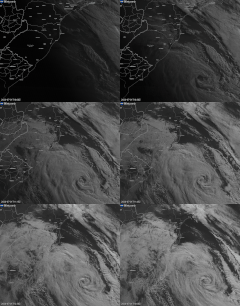
File:Animação do Ciclone Bomba em 1 de julho de 2020.gif

Size of this preview: 702 × 599 pixels. Other resolutions: 281 × 240 pixels | 562 × 480 pixels | 900 × 768 pixels | 1,200 × 1,024 pixels | 2,152 × 1,837 pixels.
Original file (2,152 × 1,837 pixels, file size: 39.43 MB, MIME type: image/gif, looped, 13 frames, 2.6 s)
File history
Click on a date/time to view the file as it appeared at that time.
| Date/Time | Thumbnail | Dimensions | User | Comment | |
|---|---|---|---|---|---|
| current | 14:55, 1 July 2020 |  | 2,152 × 1,837 (39.43 MB) | Themium | Uploaded a work by GOES-East/ABI, NASA (borders: OpenStreetMap contributors) from https://worldview.earthdata.nasa.gov/?v=-70.95699490273745,-39.87580141905126,-31.87013697871818,-22.062780229719557&t=2020-07-01-T11%3A10%3A00Z&z=5&ics=true&ici=5&icd=10&as=2020-07-01-T10%3A00%3A00Z&ae=2020-07-01-T13%3A00%3A00Z&l=Reference_Labels,Reference_Features,Coastlines,GOES-East_ABI_Band13_Clean_Infrared(hidden),GOES-East_ABI_Band2_Red_Visible_1km,VIIRS_SNPP_CorrectedReflectance_TrueColor(hidden),MODIS_A... |
File usage
The following pages on the English Wikipedia use this file (pages on other projects are not listed):
Global file usage
The following other wikis use this file:
- Usage on fr.wikipedia.org
- Usage on fr.wiktionary.org
- Usage on pt.wikipedia.org


