
File:A map of the British and French settlements in North America (4071880581).jpg

Size of this preview: 800 × 551 pixels. Other resolutions: 320 × 220 pixels | 640 × 441 pixels | 1,024 × 705 pixels | 1,280 × 881 pixels | 2,000 × 1,377 pixels.
Original file (2,000 × 1,377 pixels, file size: 2.87 MB, MIME type: image/jpeg)
| This is a file from the Wikimedia Commons. Information from its description page there is shown below. Commons is a freely licensed media file repository. You can help. |
.jpg)
Summary
| Description |
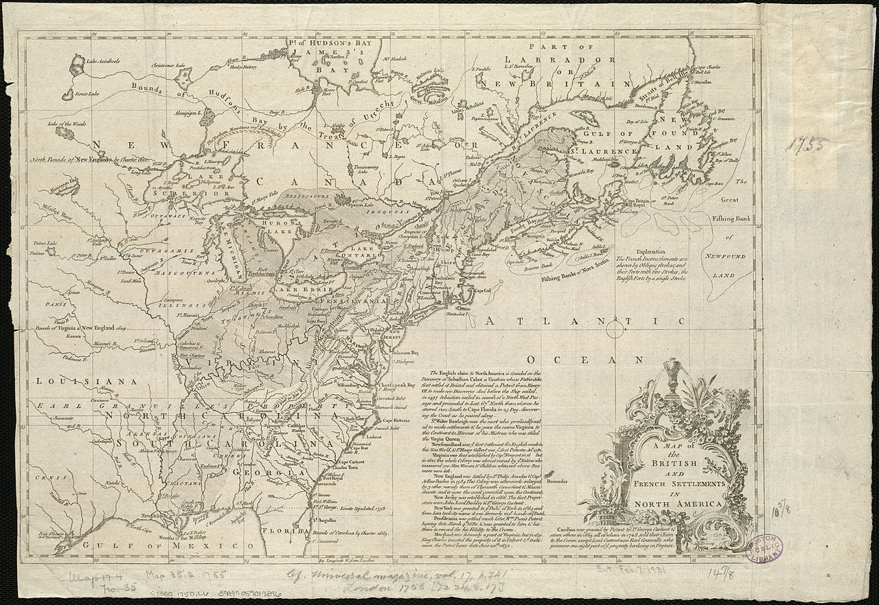
Zoom into this map at maps.bpl.org. Author: Lodge, John Publisher: Date: 1755 Location: North America Dimension: 27×38cm Scale: ca. 1:11,000,000 Call Number: G3300 1750 .L6 |
| Date | |
| Source | A map of the British and French settlements in North America |
| Author | http://maps.bpl.org |
Licensing
This file is licensed under the Creative Commons Attribution 2.0 Generic license.
- You are free:
- to share – to copy, distribute and transmit the work
- to remix – to adapt the work
- Under the following conditions:
- attribution – You must give appropriate credit, provide a link to the license, and indicate if changes were made. You may do so in any reasonable manner, but not in any way that suggests the licensor endorses you or your use.
| This image, originally posted to Flickr, was reviewed on 21 August 2013 by the administrator or reviewer File Upload Bot (Magnus Manske), who confirmed that it was available on Flickr under the stated license on that date. |
File history
Click on a date/time to view the file as it appeared at that time.
| Date/Time | Thumbnail | Dimensions | User | Comment | |
|---|---|---|---|---|---|
| current | 04:19, 21 August 2013 | | 2,000 × 1,377 (2.87 MB) | File Upload Bot (Magnus Manske) | Transferred from Flickr by User:tm |
File usage
The following pages on the English Wikipedia use this file (pages on other projects are not listed):
Global file usage
The following other wikis use this file:
- Usage on la.wikipedia.org
.jpg)