
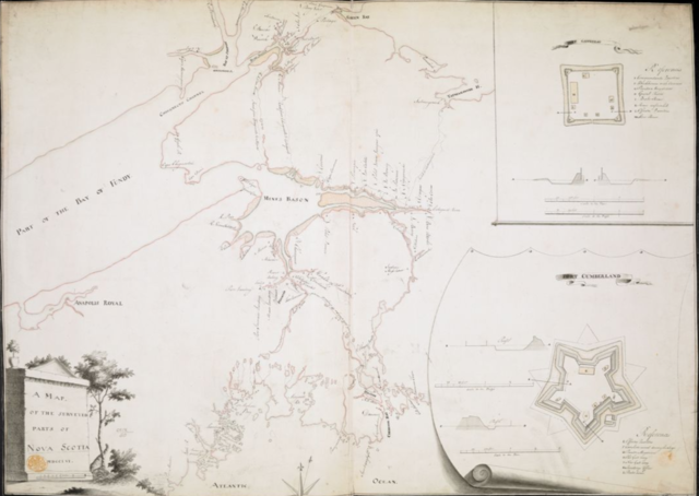
File:A MAP OF THE SURVEYED PARTS OF NOVA SCOTIA MDCCLVI by John Brewse.png

Size of this preview: 800 × 568 pixels. Other resolutions: 320 × 227 pixels | 640 × 454 pixels | 1,024 × 727 pixels | 1,370 × 972 pixels.
Original file (1,370 × 972 pixels, file size: 1.41 MB, MIME type: image/png)
| This is a file from the Wikimedia Commons. Information from its description page there is shown below. Commons is a freely licensed media file repository. You can help. |
Summary
| Description |
English: A manuscript map of Nova Scotia (including parts of present-day New Brunswick) produced during the period of the Expulsion of the Acadians (the Great Upheaval) by Engineer John Brewse. |
| Date | |
| Source | https://collections.leventhalmap.org/search/commonwealth:hx11z499x |
| Author | John Brewse |
Licensing
This work is in the public domain in the United States because it was published (or registered with the U.S. Copyright Office) before January 1, 1929.
Public domain works must be out of copyright in both the United States and in the source country of the work in order to be hosted on the Commons. If the work is not a U.S. work, the file must have an additional copyright tag indicating the copyright status in the source country.
Note: This tag should not be used for sound recordings. |
File history
Click on a date/time to view the file as it appeared at that time.
| Date/Time | Thumbnail | Dimensions | User | Comment | |
|---|---|---|---|---|---|
| current | 01:24, 14 September 2019 | | 1,370 × 972 (1.41 MB) | Hantsheroes | User created page with UploadWizard |
File usage
The following pages on the English Wikipedia use this file (pages on other projects are not listed):