
File:1st Capitol St Charles MO.JPG

Size of this preview: 800 × 533 pixels. Other resolutions: 320 × 213 pixels | 640 × 427 pixels | 1,024 × 683 pixels | 1,280 × 853 pixels | 2,560 × 1,706 pixels | 3,770 × 2,513 pixels.
Original file (3,770 × 2,513 pixels, file size: 3.96 MB, MIME type: image/jpeg)
| This is a file from the Wikimedia Commons. Information from its description page there is shown below. Commons is a freely licensed media file repository. You can help. |
|
This is an image of a place or building that is listed on the National Register of Historic Places in the United States of America. Its reference number is 69000313. |
Summary
| Description |
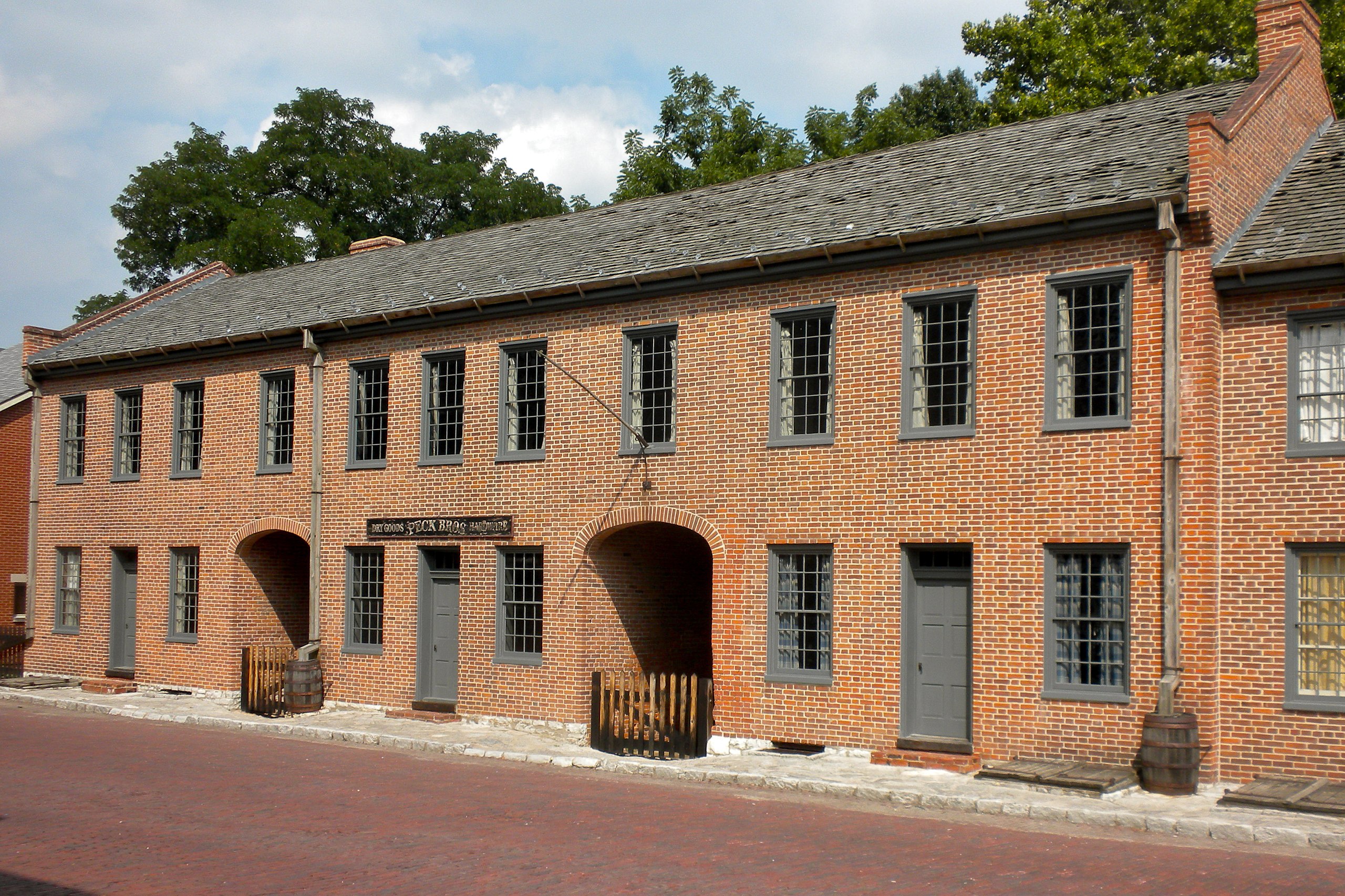
English: First Missouri State Capitol Buildings on NRHP since April 16, 1969. At 208-216 S. Main St., St. Charles, Missouri.
1st territorial (?) capital, about 1830. A block from the Missouri River or less. |
| Date | |
| Source | Own work |
| Author | Smallbones |
| Camera location | | View this and other nearby images on: OpenStreetMap |
|---|
Licensing
| I, the copyright holder of this work, release this work into the public domain. This applies worldwide. In some countries this may not be legally possible; if so: I grant anyone the right to use this work for any purpose, without any conditions, unless such conditions are required by law. |
File history
Click on a date/time to view the file as it appeared at that time.
| Date/Time | Thumbnail | Dimensions | User | Comment | |
|---|---|---|---|---|---|
| current | 14:25, 23 July 2010 | | 3,770 × 2,513 (3.96 MB) | Smallbones | {{Information |Description=First Missouri State Capitol Buildings on NRHP since April 16, 1969. At 208-216 S. Main St., St. Charles, Missouri. 1st territorial (?) capital, about 1830. A block from the Missouri River or less. |Source={{own}} |Date=2010-07- |
File usage
The following pages on the English Wikipedia use this file (pages on other projects are not listed):
Global file usage
The following other wikis use this file:
- Usage on de.wikipedia.org
- Usage on ja.wikipedia.org
- Usage on www.wikidata.org