
File:Map of the Rancho San Pedro finally confirmed to Manuel Dominguez et al., December 1859 (sc hwmc000790001).jpg

Size of this preview: 800 × 456 pixels. Other resolutions: 320 × 182 pixels | 640 × 365 pixels | 1,024 × 584 pixels | 1,280 × 730 pixels | 2,560 × 1,459 pixels | 5,648 × 3,220 pixels.
Original file (5,648 × 3,220 pixels, file size: 2.42 MB, MIME type: image/jpeg)
| This is a file from the Wikimedia Commons. Information from its description page there is shown below. Commons is a freely licensed media file repository. You can help. |
.jpg)
Summary
| Description |
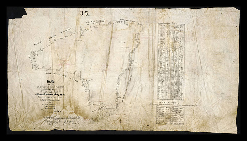
English: Map of the Rancho San Pedro finally confirmed to Manuel Dominguez et al., December 1859
|
| Date | |
| Source | http://digitalcollections.lmu.edu/cdm/ref/collection/hwmaps/id/165 |
| Author | Hancock, Henry, 1822-1883 |
Licensing
|
The author died in 1883, so this work is in the public domain in its country of origin and other countries and areas where the copyright term is the author's life plus 100 years or fewer. This work is in the public domain in the United States because it was published (or registered with the U.S. Copyright Office) before January 1, 1929. | |
| This file has been identified as being free of known restrictions under copyright law, including all related and neighboring rights. | |
File history
Click on a date/time to view the file as it appeared at that time.
| Date/Time | Thumbnail | Dimensions | User | Comment | |
|---|---|---|---|---|---|
| current | 00:39, 1 July 2014 | | 5,648 × 3,220 (2.42 MB) | Junkyardsparkle | {{Information |Description={{en|Map of the Rancho San Pedro finally confirmed to Manuel Dominguez et al., December 1859'' :Hand drawn map on linen by deputy surveyor Henry Hancock showing the course of San Gabriel River from Pacific Ocean and Inner Bay... |
File usage
The following pages on the English Wikipedia use this file (pages on other projects are not listed):
Global file usage
The following other wikis use this file:
- Usage on fr.wikipedia.org
.jpg)